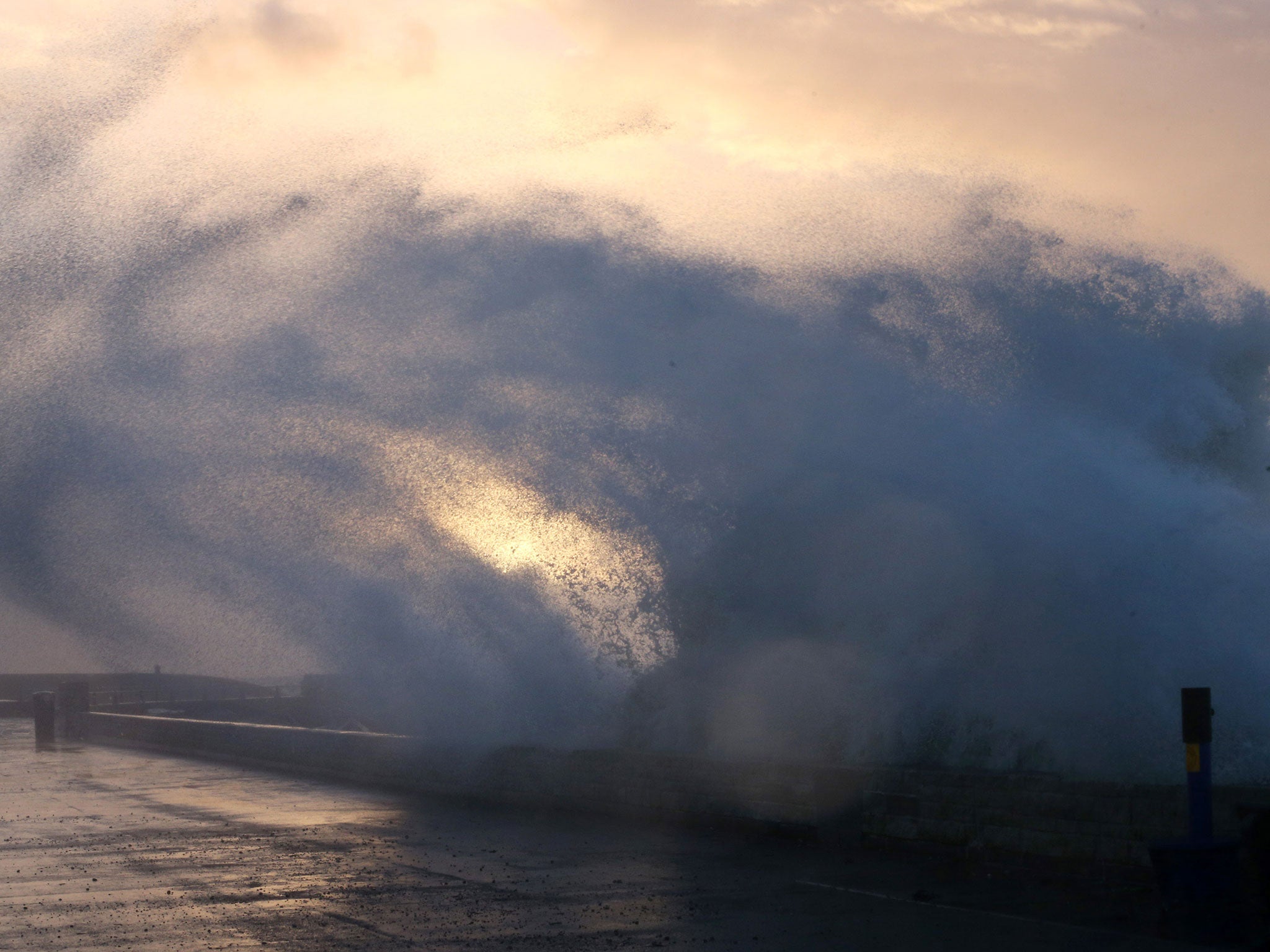
UK weather: Gale force winds up to 115 mph set to batter Britain as 250 mph jet stream surges in from Atlantic
Stormy weather is due to hit northern parts of the UK this weekend
Your support helps us to tell the story
From reproductive rights to climate change to Big Tech, The Independent is on the ground when the story is developing. Whether it's investigating the financials of Elon Musk's pro-Trump PAC or producing our latest documentary, 'The A Word', which shines a light on the American women fighting for reproductive rights, we know how important it is to parse out the facts from the messaging.
At such a critical moment in US history, we need reporters on the ground. Your donation allows us to keep sending journalists to speak to both sides of the story.
The Independent is trusted by Americans across the entire political spectrum. And unlike many other quality news outlets, we choose not to lock Americans out of our reporting and analysis with paywalls. We believe quality journalism should be available to everyone, paid for by those who can afford it.
Your support makes all the difference.Gale force winds of up to 115 mph could batter northern Scotland and parts of England ahead of the weekend as a 250mph jet stream surges in from the Atlantic.
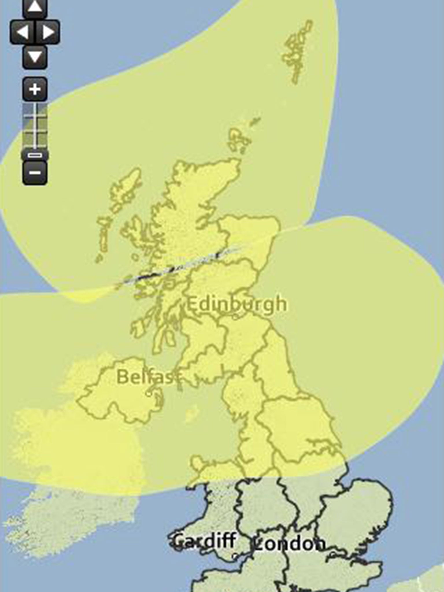
The Met Office has issued amber 'be prepared' warnings for Thursday and Friday amid predictions that two areas of low pressure will bring more extreme weather.
Forecasters say the jet stream will bring with it wind speeds of up to 250mph at flying level - and that conditions could rival the storm-like weather which battered parts of southern England at the end of 2013.
The powerful jet stream will hit in overnight tomorrow into Friday.
The extra-fast jet stream has been triggered by plunging temperatures in the United States which has hit warmer air south, stirring up forceful winds.
Experts warned that sustained winds of up to 80mph and gusts as high as 115 mph could hit northern and western Scotland on Friday, sparking fears it could tear down trees and wreak havoc to travel and power lines.
Northern England could also see gusts of up to 60 and 70 mph throughout the day.
Britain will today be hit by winds of up to 60mph in the north while up to four centimetres of rain could fall over western parts of the country with the Pennines expected to see the largest deluge.
A yellow 'be aware' warning has also been issued for the northern parts of Scotland on Friday, where sustained wind speeds are expected to reach 80mph with gusts of up to 115 mph across northern and western Scotland.
A spokesperson for the Met Office said Saturday will see a brief respite with cooler, clearer conditions and a slight easing of winds before another slow pressure system moves across the north-west of UK.
He told The Independent: “It’s not as intense as the first one but still enough to give us gusts of 80 and 90 mph in northern Scotland. Further south we will see gusts of between 60 and 70mph and up to 50 mph sustained speeds.
“It’s a wet and windy end to the week and obviously the first night for northern Scotland could very easily see damaging wind speeds.”
Join our commenting forum
Join thought-provoking conversations, follow other Independent readers and see their replies
Comments