UK’s weather to be as hot as Ibiza’s tomorrow with temperatures to warm up by 9C in parts
Met Office says temperatures will be ‘noticeably warmer’ from Tuesday

Your support helps us to tell the story
From reproductive rights to climate change to Big Tech, The Independent is on the ground when the story is developing. Whether it's investigating the financials of Elon Musk's pro-Trump PAC or producing our latest documentary, 'The A Word', which shines a light on the American women fighting for reproductive rights, we know how important it is to parse out the facts from the messaging.
At such a critical moment in US history, we need reporters on the ground. Your donation allows us to keep sending journalists to speak to both sides of the story.
The Independent is trusted by Americans across the entire political spectrum. And unlike many other quality news outlets, we choose not to lock Americans out of our reporting and analysis with paywalls. We believe quality journalism should be available to everyone, paid for by those who can afford it.
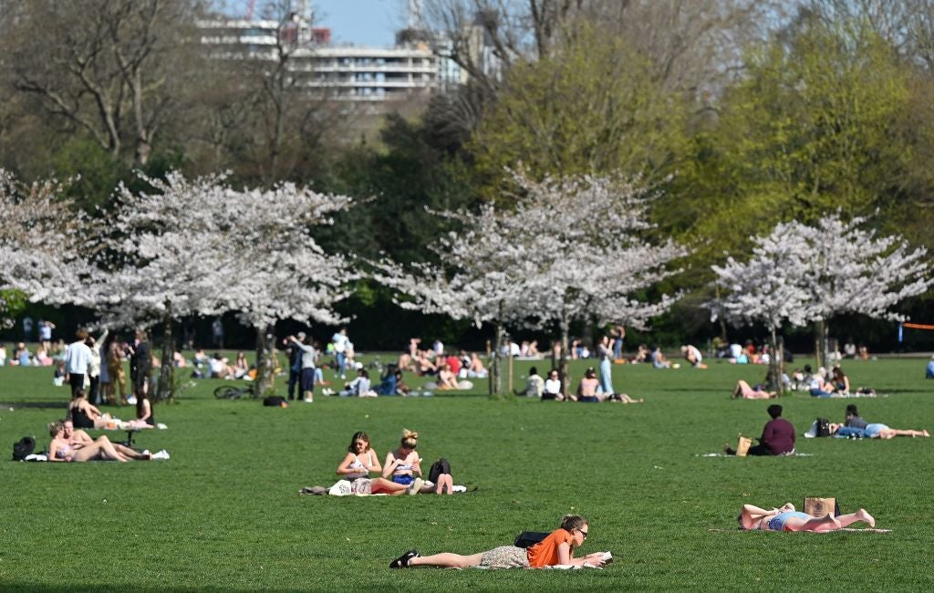
Your support makes all the difference.Temperatures of up to 19C are forecast for parts of the country on Tuesday, with some areas seeing a upward swing of up to 9C in just 24 hours thanks to a blast of mid-week heat.
The Met Office says temperatures will be “noticeably warmer” across central and northern parts of the UK following another wet and miserable weekend.
Where are the rising temperatures
Highs of 19C are forecast for Leeds on Tuesday afternoon, putting the northern city on par with the holiday hotspot island of Ibiza in Spain.
Manchester, Newcastle and Birmingham will see a swing in temperatures of up to 3C, with the mercury rising to 18C, 15C and 17C respectively in the afternoon.
Forecasters say highs of 20C are expected later in the week, with London and southeast England set to enjoy the warmest weather.
Areas north of Newcastle, particularly the east coast of Scotland, will see the chilliest weather.
Will there be a heatwave?
Amy Bokota, senior meteorologist at the Met Office, said: “Temperatures have been below average for the last couple of weeks, so certainly by the time we get to Wednesday…temperatures will be warmer.
“It might not be the sort of glorious sort of heatwave that we’re hoping for … but there probably will be some more pleasant and warmer weather for some people as we head towards the end of the week.”
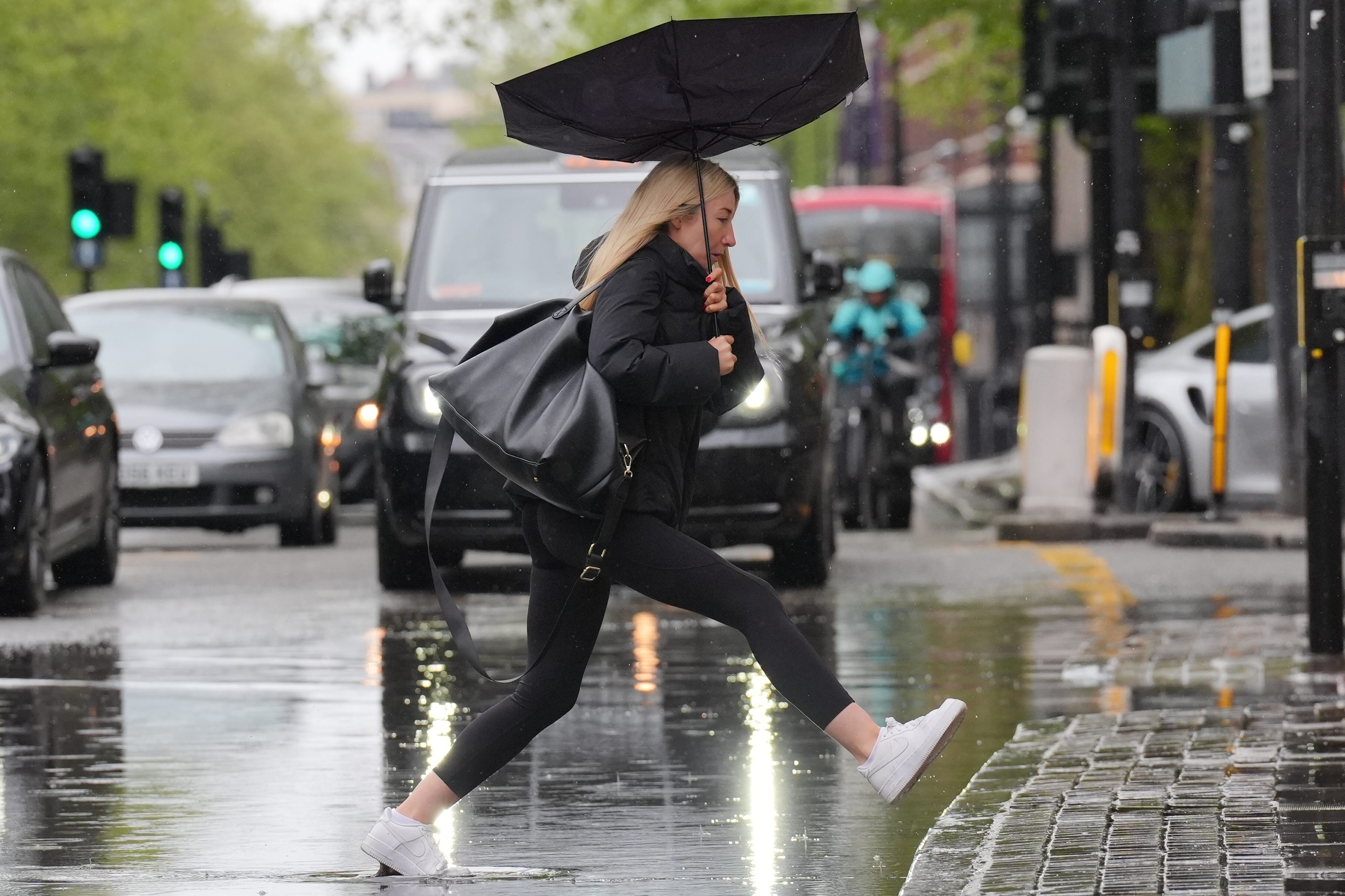
The warmer weather comes after heavy rain interrupted sports matches and flood warnings were issued across the UK over the weekend.

Up to 30mm of rain fell over southeast England during the weekend, more than half the average amount for this time of year.
Temperatures peaked at 13C across the UK on Sunday, with London temperatures hitting 7C, although conditions improved on Monday with 16C recorded in the capital.
Emergency services were called to assist two people inside a car submerged in around 50cm of floodwater under a railway bridge in Thurmaston, Leicester, on Sunday morning, Leicestershire Fire and Rescue Service said.

The Environment Agency issued several flood warnings for Sunday, meaning flooding was expected, including in St Ives in Cornwall, areas on the River Wreake in Leicestershire, Water Eaton Brook at Water Eaton and several towns on the Isle of Wight.
So far this month, the maximum temperature recorded has been 22C in Writtle, Essex, on 13 April with a low of -6C recorded in Shap, Cumbria, on 26 April and a UK-wide average of 8C, according to the Met Office.
Grey skies and wet weather meant April may have felt unusually cold despite temperatures being higher than average for the time of year, the organisation said.
Outlook for the week ahead
On Monday night, rain will continue in western parts turning heavy at times, mainly over high ground. Further east staying dry with clear spells and turning chilly again by dawn.
Looking ahead to Tuesday, heavy showery rain again for western parts with strong winds on exposed coasts. Staying largely dry in the east. Breezy at first but winds easing through the day.
Often changeable through the rest of the week with showers, longer spells of rain and sunnier intervals in between. Generally more settled across northern parts. Warmer than of late and breezy at times.
Join our commenting forum
Join thought-provoking conversations, follow other Independent readers and see their replies
Comments