Ice, frost and fog warning as temperatures to plunge below freezing after widespread flooding
Environment Agency warns public to remain vigilant after more than 1,800 properties flooded across UK
Your support helps us to tell the story
From reproductive rights to climate change to Big Tech, The Independent is on the ground when the story is developing. Whether it's investigating the financials of Elon Musk's pro-Trump PAC or producing our latest documentary, 'The A Word', which shines a light on the American women fighting for reproductive rights, we know how important it is to parse out the facts from the messaging.
At such a critical moment in US history, we need reporters on the ground. Your donation allows us to keep sending journalists to speak to both sides of the story.
The Independent is trusted by Americans across the entire political spectrum. And unlike many other quality news outlets, we choose not to lock Americans out of our reporting and analysis with paywalls. We believe quality journalism should be available to everyone, paid for by those who can afford it.
Your support makes all the difference.Hundreds of flood warnings and alerts remain in place across England, with rivers overflowing following Storm Henk and a week of heavy rain.
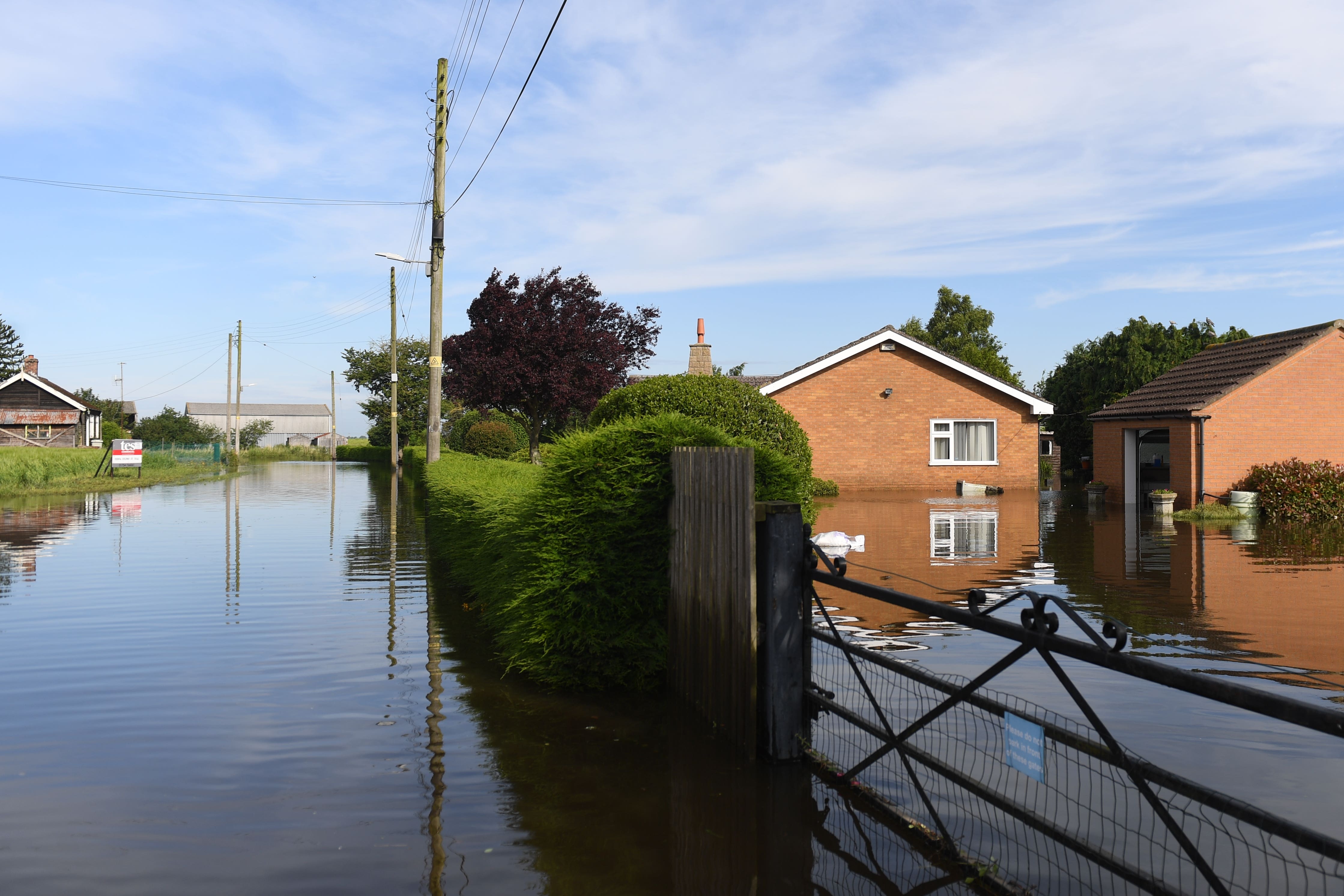
More than 1,800 properties have flooded due to saturated ground, the Environment Agency said, adding that the impact of high water levels is likely to continue over the next five days, and many rivers will remain elevated.
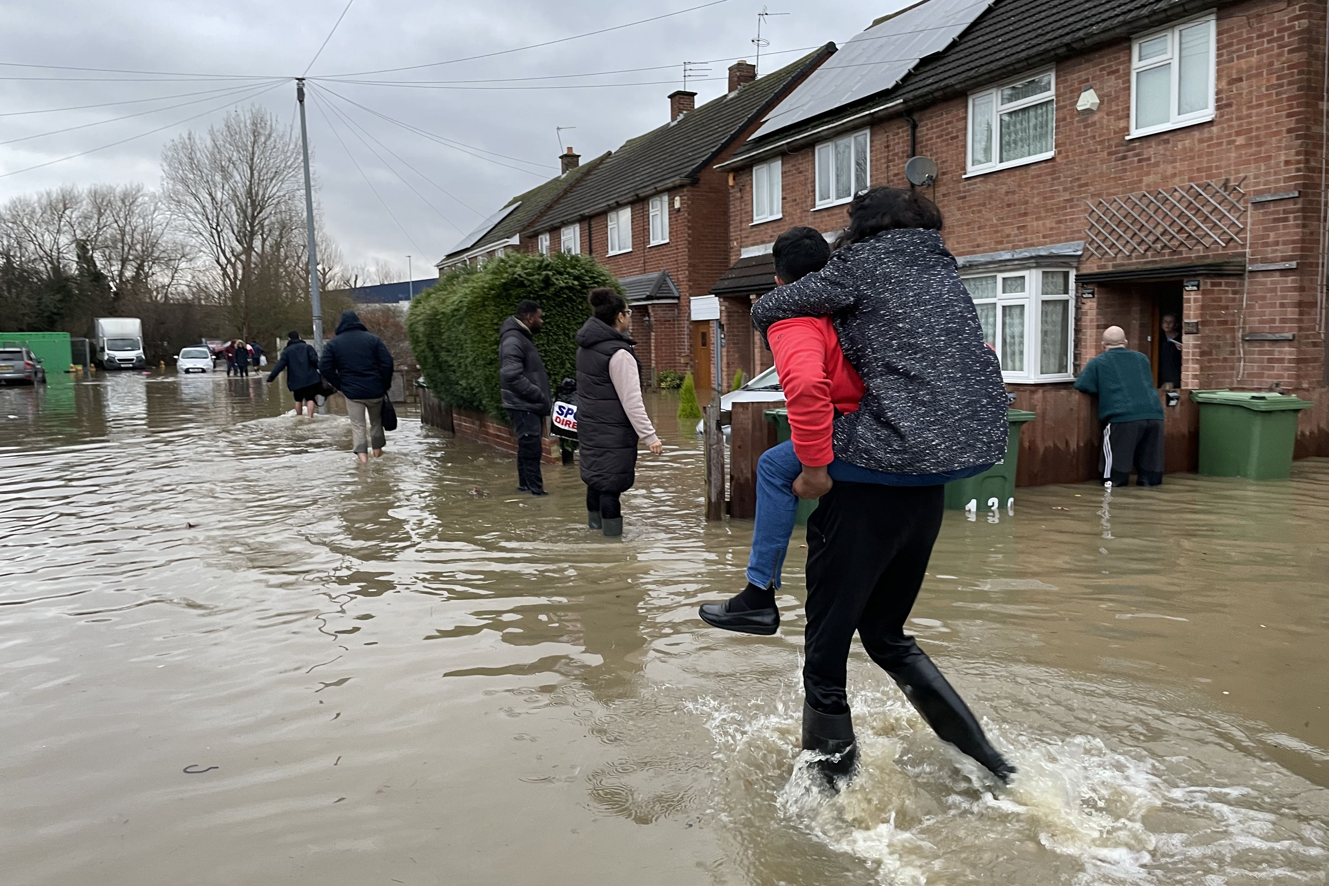
Nottinghamshire Council issued a warning on Saturday to residents close to an overflowing river at record high levels to leave their homes. The River Trent has now reached an all-time peak at the Torksey Lock gauge in Nottinghamshire, with rising waters surpassing the levels set in the year 2000.
As of 8pm on Saturday, 189 flood warnings and 207 flood alerts were still in place across England, with significant flooding expected in parts of the Midlands, Lincolnshire and along the River Thames. The government has said flooded households can now apply for up to £500 to help cover the cost of repairs.
Colder weather is also expected overnight, with forecasters warning of icy conditions for the upcoming week. The Met Office said Sunday morning would see icy stretches, fog patches and frost, with temperatures as low as -2C in Scotland and struggling to get above 5C for much of the rest of the country.
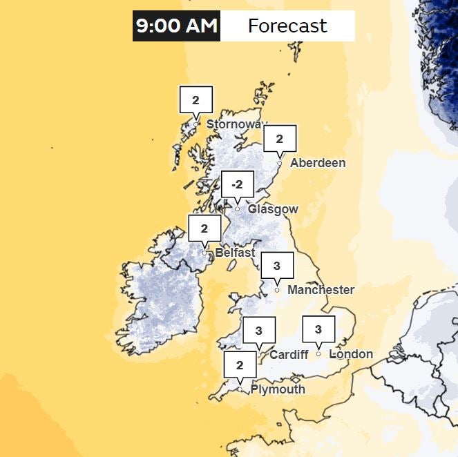
The UKHSA issued a yellow cold weather alert for the vulnerable and elderly from 9am on Saturday until noon on Friday 12 January with temperatures likely to be a few degrees below average across much of the UK, especially overnight, with ice an issue on wet ground.
It comes as many parts of the country continue to grapple with the aftermath of Storm Henk.
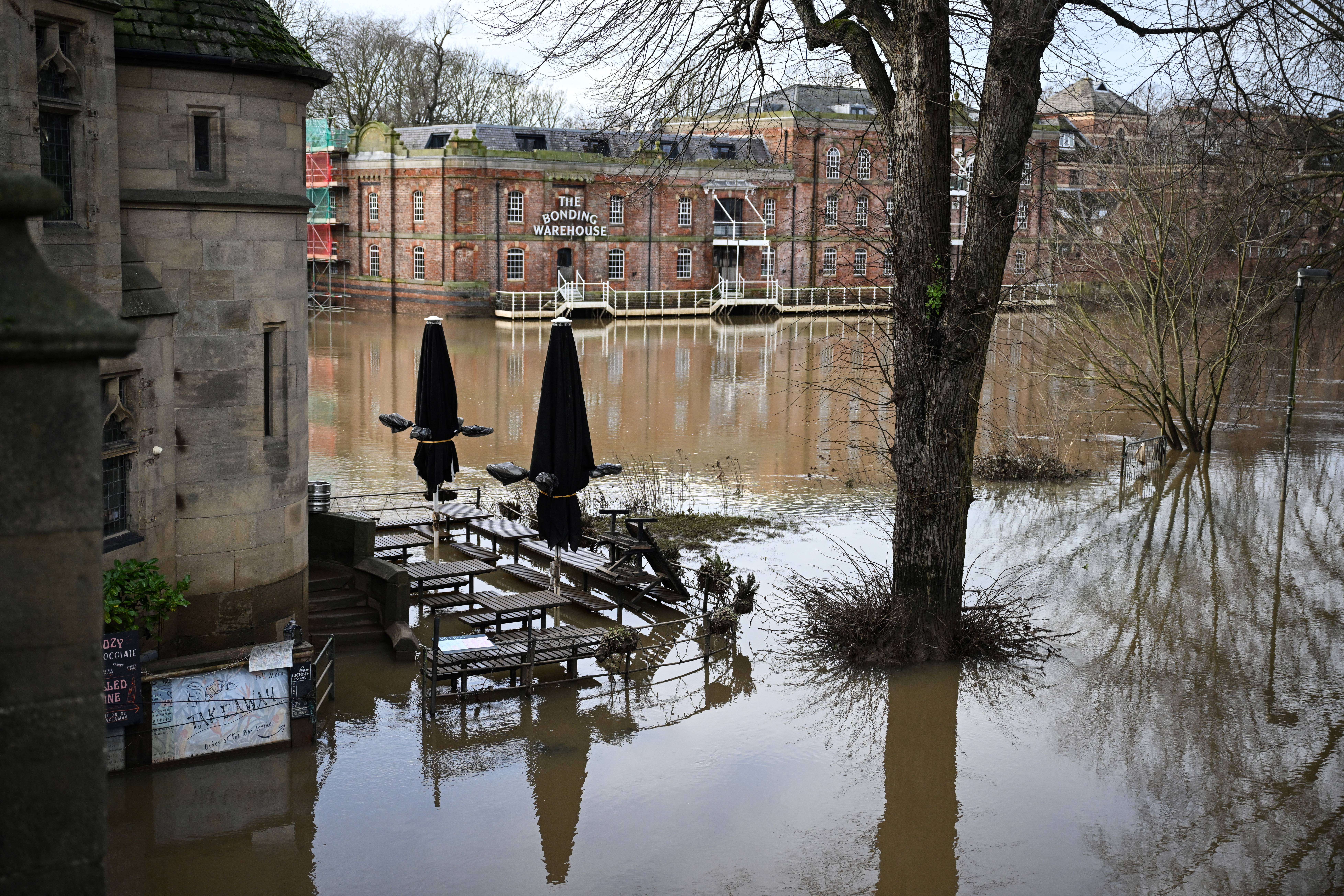
Katharine Smith, flood duty manager at the Environment Agency, said: “Significant river flooding impacts are still expected today and over the next few days across parts of the river Thames in Oxfordshire as well as the River Trent near Nottingham, and the River Severn, including Gloucester.
“The prolonged wet weather and intense rainfall has led to flooding impacts and our thoughts are with all of those affected.”
The Department for Environmental and Rural Affairs (Defra) announced on Saturday the government had released Flood Recovery Framework grants for communities affected by the storm that started on 2 January. Significantly impacted households and businesses could receive 100 per cent off their council tax and business rates for at least three months.
Grants of up to £2,500 are available to eligible small-to-medium-sized businesses, £5,000 could be given to property owners making their buildings more resilient to future floods, and farmers who have suffered uninsurable damage to their land can apply for £25,000.
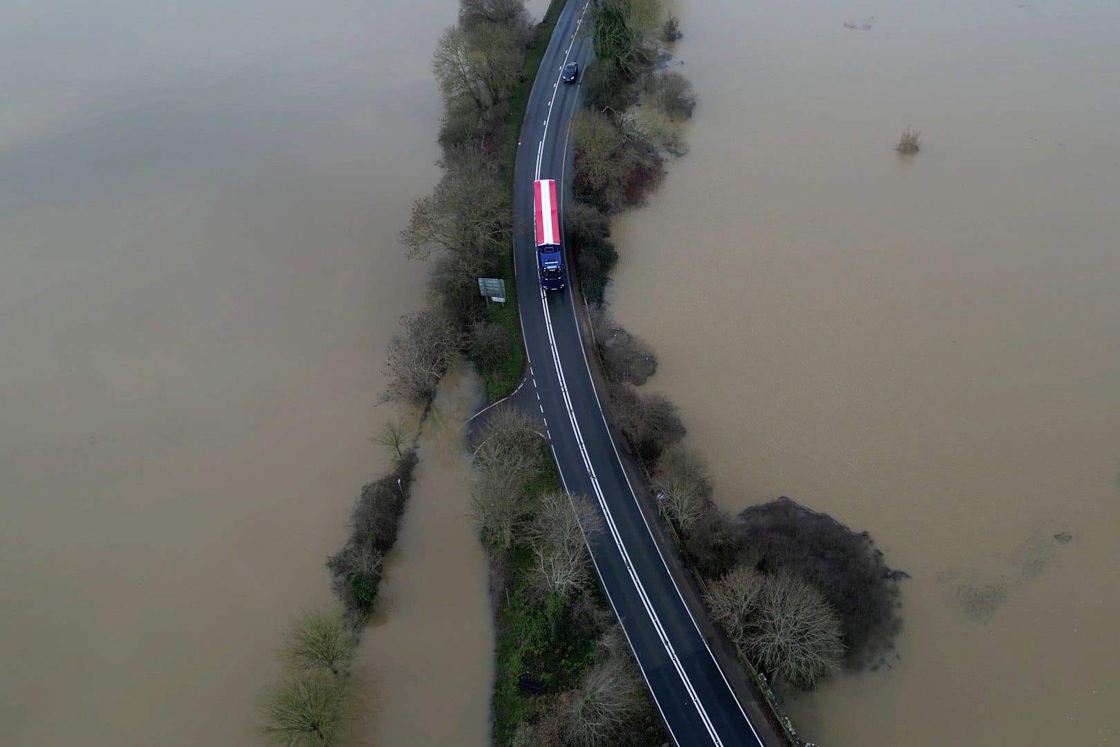
Data from the Environment Agency shows almost every river in England to be exceptionally high with some rivers reaching their highest flow on record. Crews are operating temporary pumps, barriers and flood defences to minimise the impact of flooding across the country, and the agency said it has protected more than 45,000 properties.
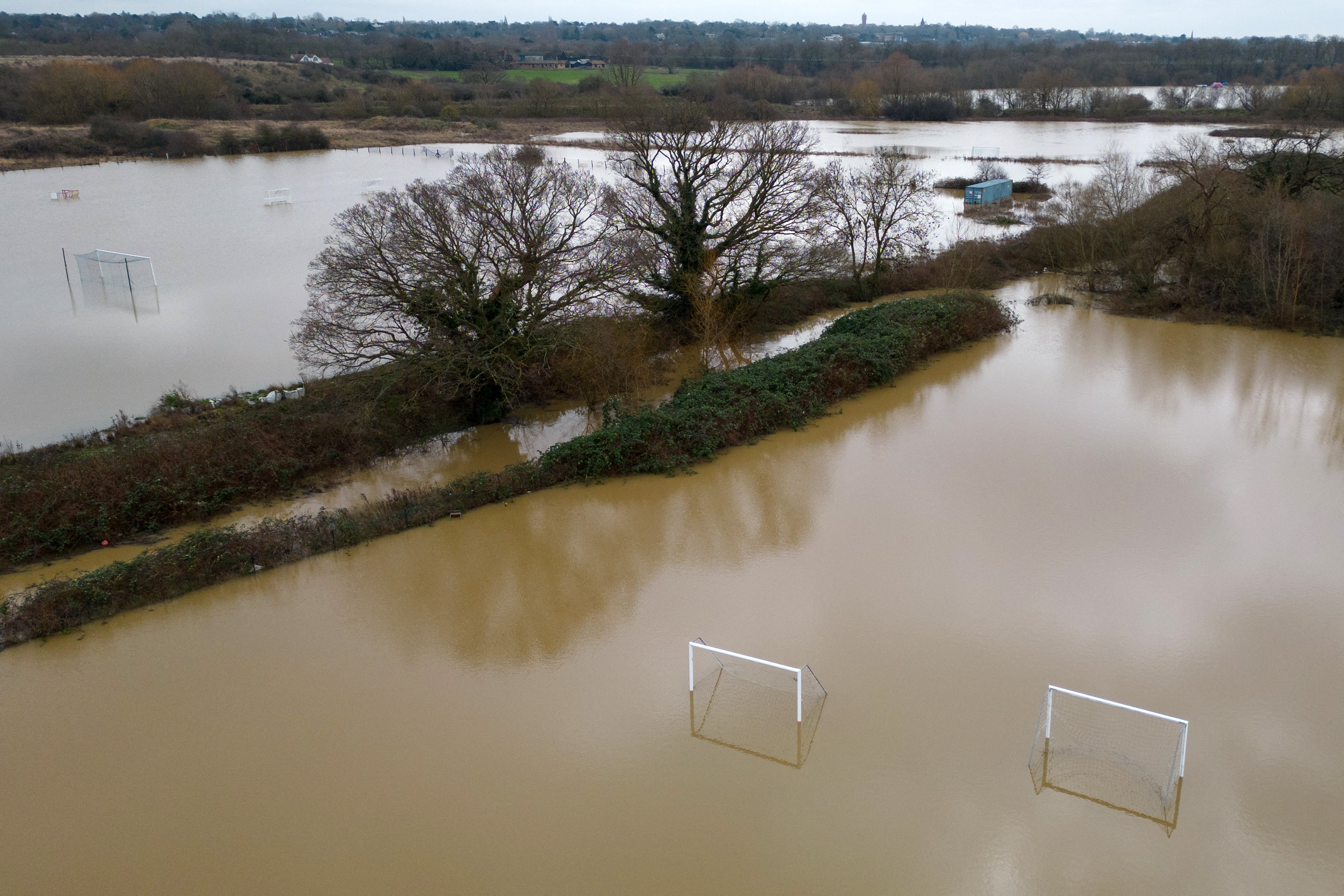
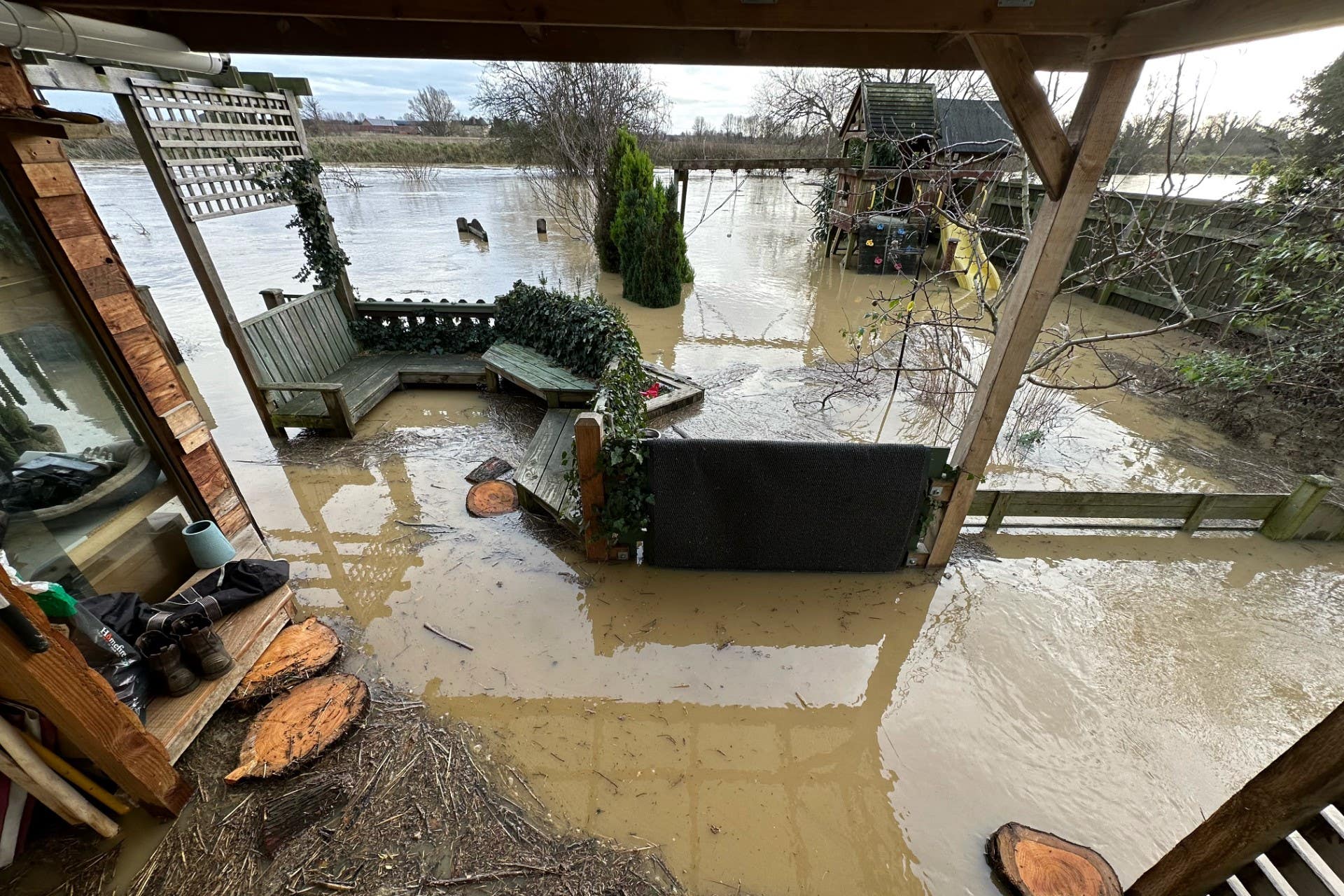
Flood risks are expected to be scaled back over the weekend but the agency urged the public to check for high water levels in their area and sign up for free flood alerts. Drivers were warned not to pass through floods, because just 30cm of water is enough to float a car.
While cold, Sunday is forecast to remain largely dry, except for the occasional shower in southeast England early in the day.
Met Office chief forecaster Jason Kelly said: “As the prevailing weather conditions will be characterised by high pressure, a good deal of settled weather is likely.
“Clearer skies and a marked reduction in precipitation are expected, although any showers that do occur are likely to be wintry in nature.”
MET OFFICE OUTLOOK
Saturday evening:
Mostly cloudy and dry, although some breaks will occur allowing a slight frost to develop. Later showers will move across southeastern areas, perhaps turning wintry over high ground. Minimum temperature -1C.
Sunday:
Morning showers across the southeast, probably wintry over high ground. Otherwise dry and often cloudy. Feeling very cold with a brisk wind, but locally strong winds for southeastern coasts. Maximum temperature 5C.
Outlook for Monday to Wednesday:
Monday showers across eastern areas, some wintry. Tuesday dry and sunny, probably also Wednesday. Feeling very cold each day with brisk winds, strong along the coast, and a significant windchill.

Join our commenting forum
Join thought-provoking conversations, follow other Independent readers and see their replies
Comments