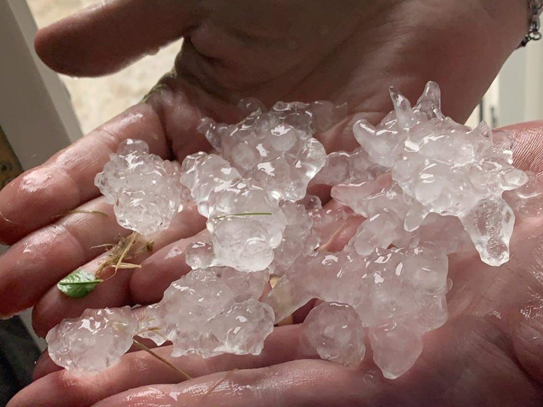
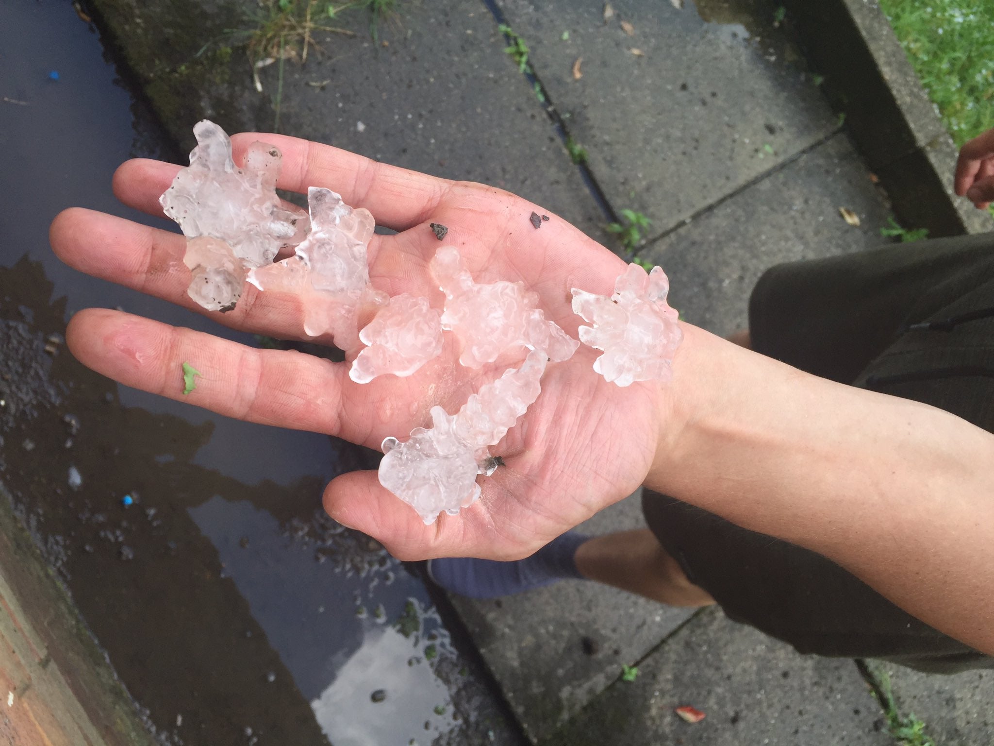
Huge, jagged hailstones lash northern England as thunderstorms sweep the country
Images show people in Leeds and Sheffield holding large clumps of icy debris

Your support helps us to tell the story
From reproductive rights to climate change to Big Tech, The Independent is on the ground when the story is developing. Whether it's investigating the financials of Elon Musk's pro-Trump PAC or producing our latest documentary, 'The A Word', which shines a light on the American women fighting for reproductive rights, we know how important it is to parse out the facts from the messaging.
At such a critical moment in US history, we need reporters on the ground. Your donation allows us to keep sending journalists to speak to both sides of the story.
The Independent is trusted by Americans across the entire political spectrum. And unlike many other quality news outlets, we choose not to lock Americans out of our reporting and analysis with paywalls. We believe quality journalism should be available to everyone, paid for by those who can afford it.
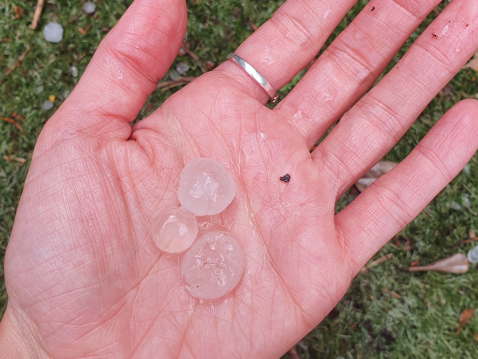
Your support makes all the difference.Parts of northern England have been hit by hailstones the size of £2 coins as thunderstorms swept the country.
The dramatic change in weather comes after the UK enjoyed warm sunshine on Thursday – its hottest day of the year so far.
People in Leeds and Sheffield posted images on social media of them holding large and jagged hailstones which fell on Friday evening.
Met Office meteorologist Craig Snell said photographs he had seen show the hail to be up to 4cm in size.
“Usually in the winter when we have hail it is quite small,” he explained. “This time of the year, because the heat gives the thunderstorms more energy and helps keep the hail stones up in the clouds for longer, they get to grow more and then fall from the sky.”
Thunderstorms battered down over parts of the UK on Friday evening, including northern and eastern England.
The Met Office warned thundery showers could bring hail, lighting and flooding to areas, with up to 50mm of rain falling in an hour.
A yellow weather warning for thunderstorms is in place for northern England and Scotland until 9am on Saturday.
Mr Snell said: “Not everyone will see a storm, but if you catch one, you will certainly know about it.”

The storms were expected to clear northeastwards on Friday night.
The Environment Agency issued seven flood alerts – meaning flooding is possible – of which five were focused near rivers in the West Midlands, while others were for the waterways around Loughborough in Leicestershire and the River Trent tributaries in Nottinghamshire.
The Met Office said up to 20mm of rain could fall per hour in the areas covered by the warning, with up to 40mm falling over a “few hours”.

Sunshine and showers are forecast for much of England and Wales on Saturday, with temperatures expected to hover around 22C.
Northern parts of the UK will see the heaviest and longest bouts of rain at the start of the weekend, the Met Office said.
Sunday is forecast to see rain and gusts of up to 50mph hit coastal areas in north Wales and northwest England, while remaining “breezy” further inland, meteorologist Mr Snell said.
Additional reporting by Press Association
Join our commenting forum
Join thought-provoking conversations, follow other Independent readers and see their replies
Comments