Where snow could hit UK on New Year’s Day as temperatures drop to -2C
Met Office issues numerous weather warnings across country with almost every region affected between Monday and Wednesday
Britons are bracing for snowfall and a sharp drop in temperatures, which are set to fall to -2C on New Year’s Eve in some places.
The Met Office has issued numerous weather warnings across the country, with almost every region affected by heavy rain, strong winds or snow between Monday and Wednesday.
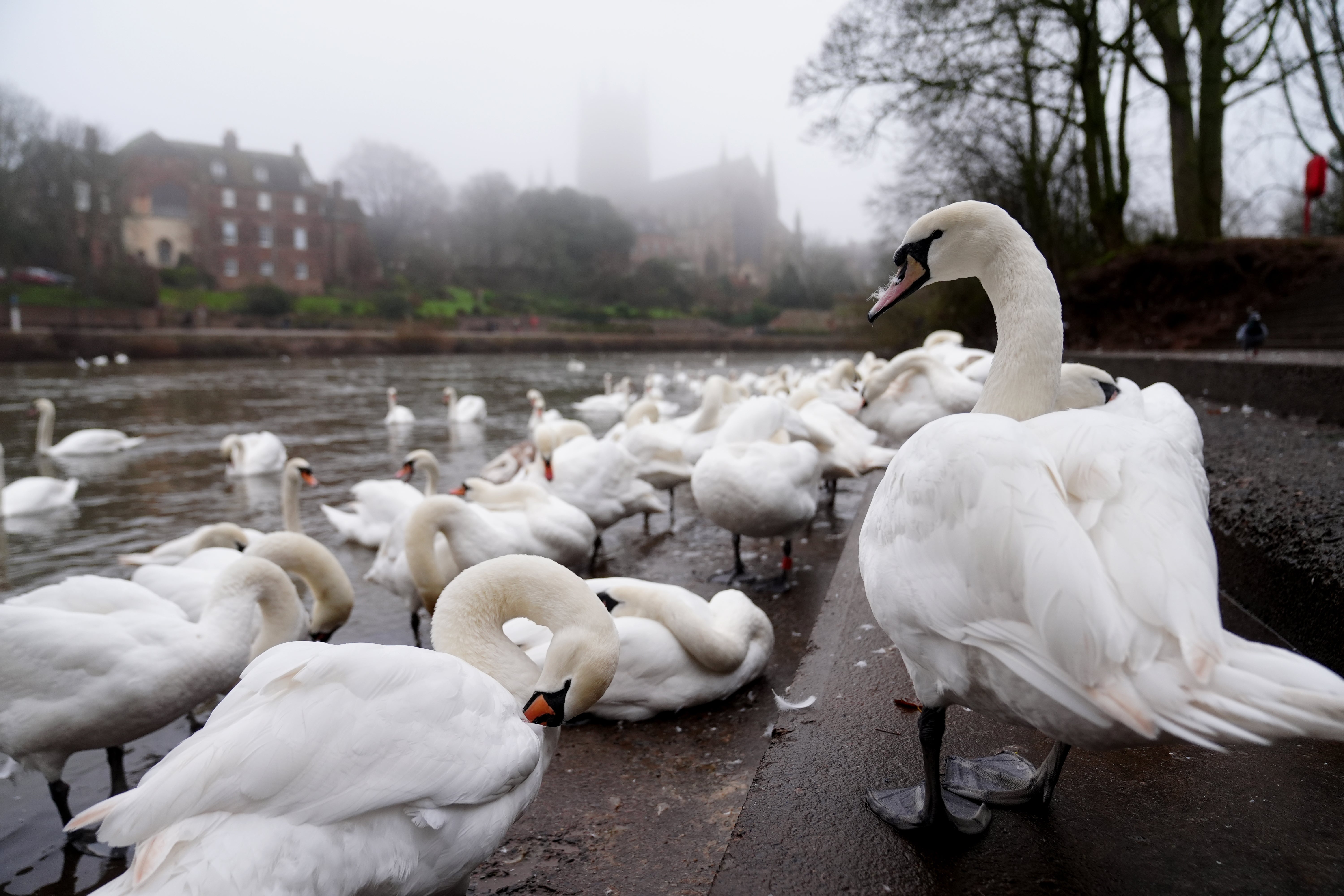
The alerts come after severe fog caused travel chaos after Christmas with dozens of flights delayed or cancelled across the UK.
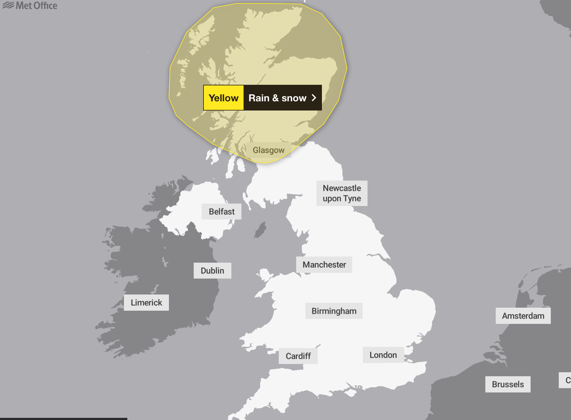
The forecaster has issued a yellow rain and snow warning that will be in force for the whole of Monday and Tuesday.
The yellow warning initially covered most of Scotland until midnight on Tuesday, which the Met Office said “may bring significant disruption in the build-up to New Year,” but it was later revised to cover the Highlands and Moray only, with the warning extended until 4am on Wednesday.
Forecasters warn of possible blizzard conditions, particularly over high ground in Sutherland and Caithness. Snow is expected to fall heavily over the Highlands, with 10-20cm accumulating above 150-200 metres.
The Met Office added 20 mm is expected widely, with some places in the Northwest Highlands perhaps seeing 40 to 50 mm of rain.

A yellow warning for “persistent snow” likely to cause travel disruption has also been issued for Orkney and Shetland during Hogmanay.
The Met Office alert covers all of the islands and is in place from 5am all day on Tuesday.
Up to 20cm of snow is expected in the worst affected areas, mainly Mainland and Hoy, with 5 to 10cm predicted elsewhere.
Longer road journey times are likely as a result of difficult driving conditions, the forecaster warned.
As milder air pushes in, snow will turn back to rain, and any rapid snow melt will contribute to flooding in places.
The Met Office has warned spray and flooding will lead to difficult driving conditions and some road closures, with longer journey times by road, bus and train services.
Fast-flowing or deep floodwater is possible, causing a danger to life.
Delays or cancellations to train and bus services are possible from rain or snow, the forecaster said.

The Met Office said: “Rain is likely to become persistent and occasionally heavy on Monday and possibly last through New Year’s Eve.
“This may bring some significant disruption and flooding in the build-up to new year events, although there is still a lot of uncertainty in which areas are likely to be affected.”
An amber warning for heavy rain has been put in place across parts of North West England until 9am on New Year’s Day.
The Met Office alert stretches from Settle in the Yorkshire Dales across to Preston and down to parts of the Peak District.
The warning states that heavy rain is “likely to lead to disruption including flooding in some locations” with a chance some places could see more than 10cm of rain.
The new year will be off to a turbulent start with weather warnings in place for wind, rain and snow on 1 January.
From New Year’s Day, the unsettled conditions, and potentially disruptive wind, rain and snow, could affect more southern parts of the UK.
Winds of up to 60mph are forecast across much of England and Wales all day on Wednesday, with gusts of 75mph likely around coastal areas and hills, according to the Met Office.
Met Office meteorologist Simon Partridge said: “Basically, the North East seems to be the place to be for the next couple of days if you want to see some brighter and maybe even some blue sky at times, whereas elsewhere is mainly grey.”
Over the weekend it will become “a little bit windier and a little bit wetter” across Scotland, with showers in northern Scotland as a result of low pressure, he said.
Further south it will be “pretty cloudy” with some breaks in the cloud on Sunday because of slightly stronger winds.
Temperatures at the weekend may be “slightly fresher” with highs of about 9C to 11C expected, compared with 11C to 13C earlier in the week, though it will still be fairly mild for the time of year including overnight, with little frost expected.
But Mr Partridge added: “As we head towards the new year, particularly for New Year’s Eve, it looks like there could be some wet and rather windy weather, particularly across Scotland, which is not ideal considering that’s the place that really goes to town for New Year’s Eve.”
Join our commenting forum
Join thought-provoking conversations, follow other Independent readers and see their replies
Comments
Bookmark popover
Removed from bookmarks