Met Office snow forecast warns ‘North Pole breeze’ set to hit in days
Wintry conditions could be seen as soon as the end of the week
Your support helps us to tell the story
From reproductive rights to climate change to Big Tech, The Independent is on the ground when the story is developing. Whether it's investigating the financials of Elon Musk's pro-Trump PAC or producing our latest documentary, 'The A Word', which shines a light on the American women fighting for reproductive rights, we know how important it is to parse out the facts from the messaging.
At such a critical moment in US history, we need reporters on the ground. Your donation allows us to keep sending journalists to speak to both sides of the story.
The Independent is trusted by Americans across the entire political spectrum. And unlike many other quality news outlets, we choose not to lock Americans out of our reporting and analysis with paywalls. We believe quality journalism should be available to everyone, paid for by those who can afford it.
Your support makes all the difference.The Met Office has forecasted that snowy conditions could hit parts of the UK as early as the end of the week.
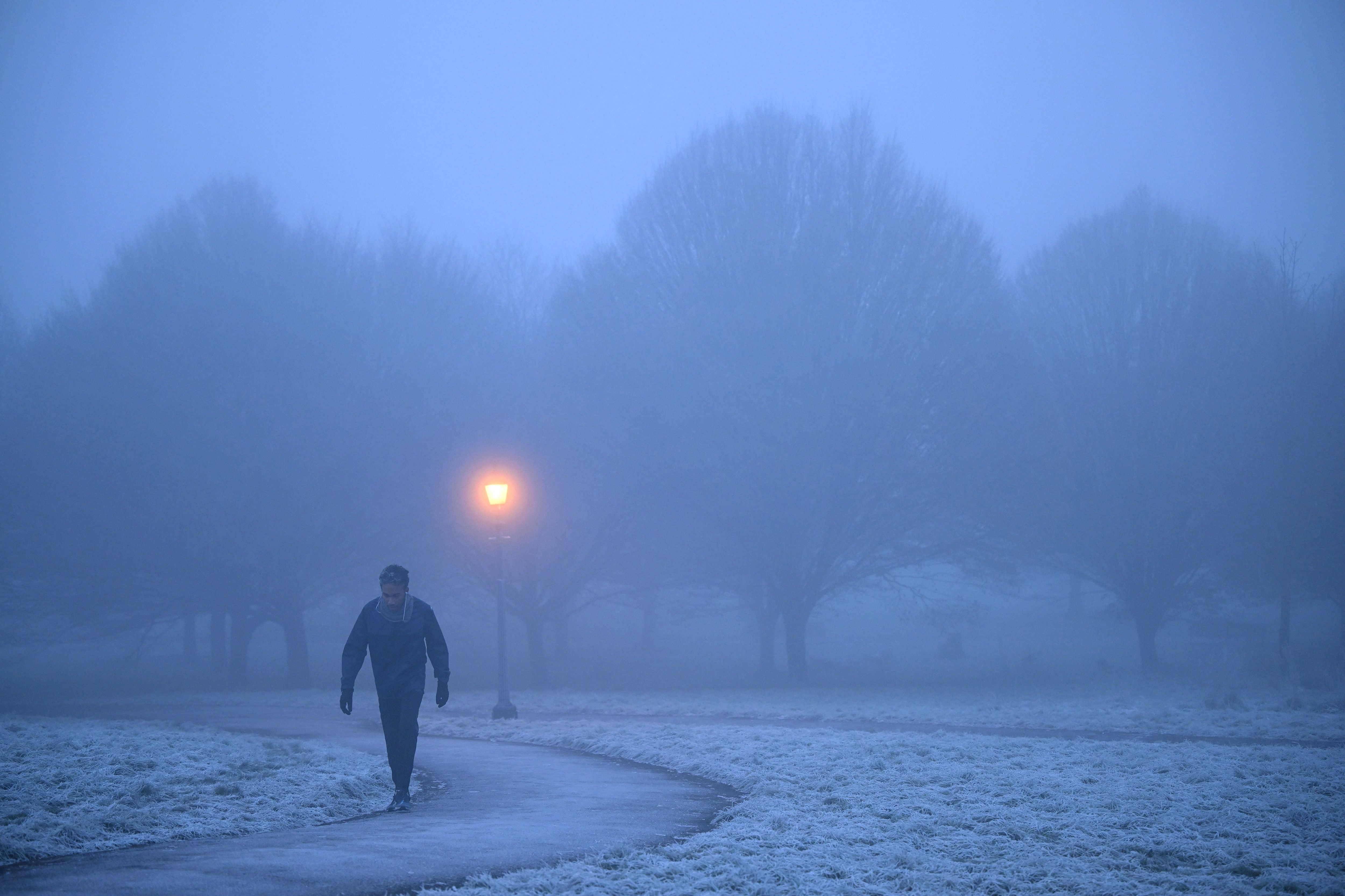
The forecaster said the UK will see some colder air crossing the UK later this week and daytime temperatures may dip to single figures for some, with some chilly nights and frosty starts also on the way.
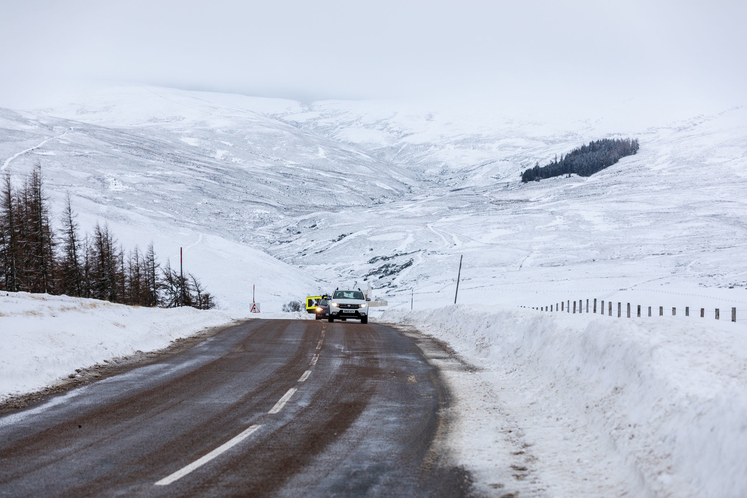
Snow could land as early as Friday, 24 February with wintry showers over hills and mountains in the north of the UK.

The Met Office said cold air coming from the North Pole is behind incoming frosty weather.
Met Office forecaster Aidan McGivern told The Mirror: “It looks as though there are some changes on the way from the middle of next week.
“We are seeing a major Sudden Stratospheric Warming taking place above the North Pole and what that means is that the winds in the stratosphere surrounding the North Pole are expected to reverse, instead of going from west to east they are going to go from east to west.
“That can have a drag effect on the jet stream which can slow the jet stream down which can in turn lead to higher pressure at the surface, a blocking area of high pressure, blocking wind and rain from the Atlantic and sometimes leading to colder conditions. That’s why Sudden Stratospheric Warmings increase the chance of cold weather.”

The forecaster’s long-range forecast from 6 to 20 March added: “High pressure is expected to dominate at the start of the period, with any more unsettled weather most likely across the far north and northwest.
“However, low pressure could develop to the south of the UK by the middle of the month, bringing more widespread changeable conditions. Temperatures expected to be generally around average to begin, with the risk of colder nights throughout the period. There is an increasing chance of some colder than average conditions developing as the month progresses, although confidence remains low.
UK 5 day weather forecast:
Today:
Occasional rain across central Scotland, sunny spells and a few showers in far north with severe gales. Elsewhere, rather cloudy, bright at times in east, but drizzle on western hills. Very mild for many but cooler across the far north.
Tonight:
Mainly cloudy with some patchy rain or drizzle, mostly in the west. Rain becoming heavier across the far north and northwest by morning. Mild or very mild.
Tuesday:
More persistent rain in the far north and northwest slowly clearing then all parts rather cloudy with some drizzle on western hills. Bright at times in the east. Mild.
Outlook for Wednesday to Friday:
Mostly cloudy Wednesday with outbreaks of rain and showers spreading southeast. Sunny spells Thursday ahead of rain spreading from the northwest. Turning colder from the north on Friday.


Join our commenting forum
Join thought-provoking conversations, follow other Independent readers and see their replies
Comments