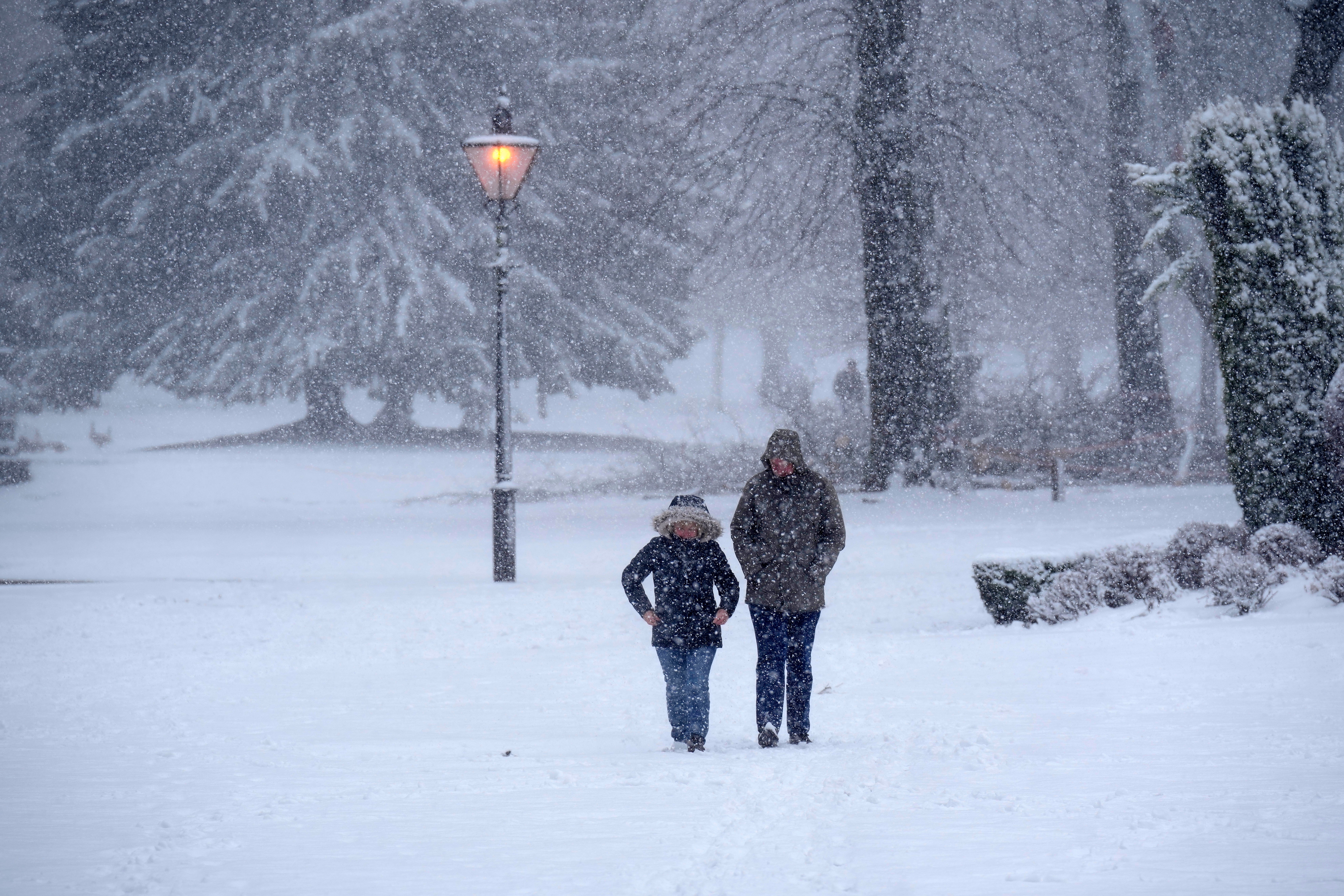
Met Office gives verdict on UK snow forecast after reports of four-day ‘arctic blast’
Reports emerged claiming the UK would be hit with an ‘arctic blast’ by the end of November

Your support helps us to tell the story
From reproductive rights to climate change to Big Tech, The Independent is on the ground when the story is developing. Whether it's investigating the financials of Elon Musk's pro-Trump PAC or producing our latest documentary, 'The A Word', which shines a light on the American women fighting for reproductive rights, we know how important it is to parse out the facts from the messaging.
At such a critical moment in US history, we need reporters on the ground. Your donation allows us to keep sending journalists to speak to both sides of the story.
The Independent is trusted by Americans across the entire political spectrum. And unlike many other quality news outlets, we choose not to lock Americans out of our reporting and analysis with paywalls. We believe quality journalism should be available to everyone, paid for by those who can afford it.
Your support makes all the difference.The Met Office has rubbished reports of a four-day arctic blast said to be hitting the UK by the end of the month.
The forecaster said there were no signs of snow across the country with temperatures set to remain around average for this time of year.
It comes after reports suggested the UK would see up to 30 centimetres of snow with temperatures as low as -6C by 20 November.
“There is no sign of snow in the current forecast period, but there is a bit of a change on the way over the next few days,” Met Office spokesperson Stephen Dixon said.
“The current cloudy conditions with patchy bits of drizzle will break up early next week to bring some sunny skies for much of the UK on Monday.
“This will bring in some chillier conditions, but many will likely enjoy the reemergence of the Sun after a somewhat gloomy start to November.”
Mr Dixon said further unsettled weather in northwestern parts of the country could be possible in the second half of November, with the chance of it spreading further south at times.
He added that temperatures were likely to be around average for most, with the possibility of cooler periods at times.
The reports of heavy snow cited data from the website WXCharts - which visualises different models of future weather patterns from forecasters around the world.
However, a one-off weather model is not a forecast. Organisations like the Met Office run hundreds of weather models to predict future patterns.
The data presented by WXCharts was not false - but it is inaccurate to then report a single weather model from that data as a forecast.
Five-day forecast
Today:
Most areas will have a dry but cloudy and cool day, with hill fog in places. It will be breezy in the west, with patchy drizzle most likely here too. Northern Scotland will see some sunshine. Local brighter breaks elsewhere.
Tonight:
Remaining cloudy in most areas with hill fog and patchy light rain or drizzle. Northern Scotland will hold onto the best of the cloud breaks, with a patchy frost forming.
Saturday:
Another grey day for many with the odd spot of light rain or drizzle. However, northern Scotland will continue to see some sunshine, and a few brighter spells developing elsewhere.
Outlook for Sunday to Tuesday:
A band of light rain will move southeastwards across the UK on Sunday, introducing drier and sunnier, though cooler weather for the start of next week. Patchy fog and frost.
Subscribe to Independent Premium to bookmark this article
Want to bookmark your favourite articles and stories to read or reference later? Start your Independent Premium subscription today.
Join our commenting forum
Join thought-provoking conversations, follow other Independent readers and see their replies
Comments