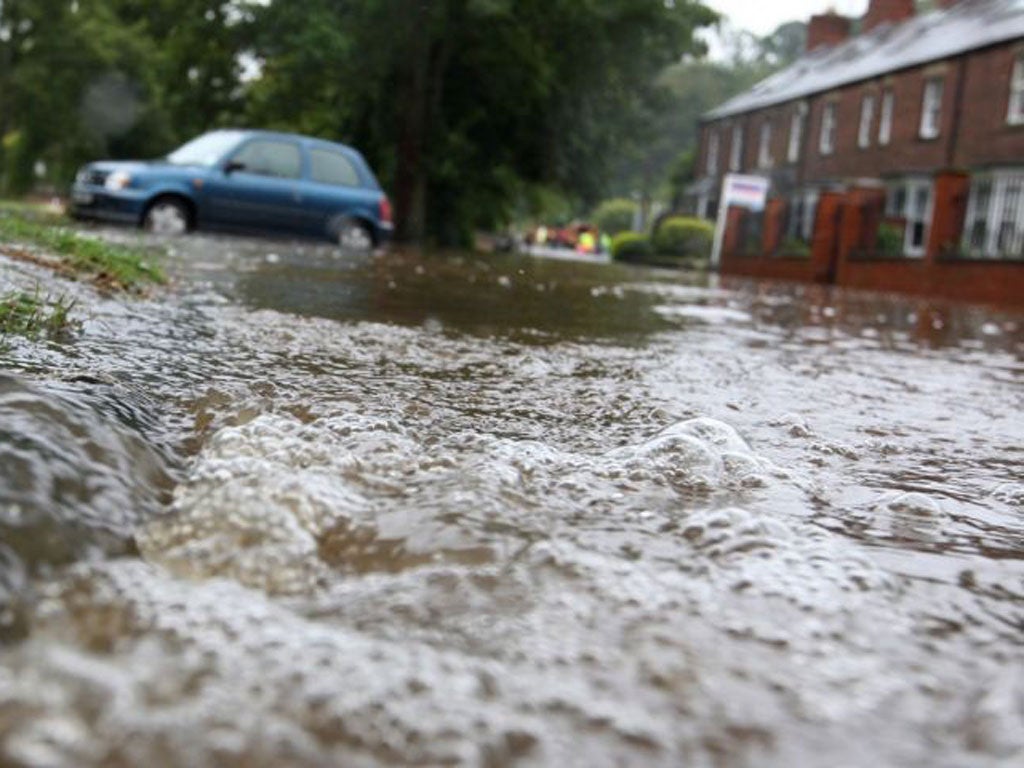
Severe weather warnings as Britain braces for rain and floods

Your support helps us to tell the story
From reproductive rights to climate change to Big Tech, The Independent is on the ground when the story is developing. Whether it's investigating the financials of Elon Musk's pro-Trump PAC or producing our latest documentary, 'The A Word', which shines a light on the American women fighting for reproductive rights, we know how important it is to parse out the facts from the messaging.
At such a critical moment in US history, we need reporters on the ground. Your donation allows us to keep sending journalists to speak to both sides of the story.
The Independent is trusted by Americans across the entire political spectrum. And unlike many other quality news outlets, we choose not to lock Americans out of our reporting and analysis with paywalls. We believe quality journalism should be available to everyone, paid for by those who can afford it.
Your support makes all the difference.Forecasters have warned that parts of Britain could be hit by flooding as heavy rain looks set to sweep across the country in the next few days.
People in Wales and south-west England have seen up to 15-20mm of rain overnight, with the wet weather expected to move east through this morning.
The Environment Agency has 18 flood warnings in place, mostly in the north east of England, but says southern areas are most likely to be affected.
A severe weather warning has been issued for south-west England, the West Midlands and Wales.
More heavy rain is expected to continue tonight and rainfall levels could hit 30mm by Saturday.
Issuing the yellow warning, which urges people to be prepared, the Met Office said: “Periods of heavy rain are likely across the southern half of Wales, south-west England and the south-west Midlands from the beginning of Friday until Saturday morning.
“It is looking increasingly likely that one area of heavy rain will move through during the small hours of Friday followed by a drier interlude, before further heavy, persistent rain moves eastwards later on Friday into the early hours of Saturday.
“However there still remains considerable uncertainty in the details of the heavy rain by late Friday and the warning may be adjusted further as the event approaches. The public should be aware of the possibility of disruption to travel due to localised flooding.”
Nick Prebble, a forecaster for MeteoGroup, the weather division of the Press Association, said 30mm of rain could hit areas of southern England and Wales.
“It's going to be a wet one,” he said. “The spell of rain from overnight should clear away during the day, but another pulse will move in later brining some heavy bursts.”
The Environment Agency currently has 18 flood alerts in place in the south-west, Midlands, Anglian and north-east regions. Three flood warnings in place in the north-east.
Temperatures are expected to reach 15C in southern areas, 17C in London and 14C in the north.
Join our commenting forum
Join thought-provoking conversations, follow other Independent readers and see their replies
Comments