Archaeologists hope to finally solve mystery of tunnels underneath Scottish Highlands
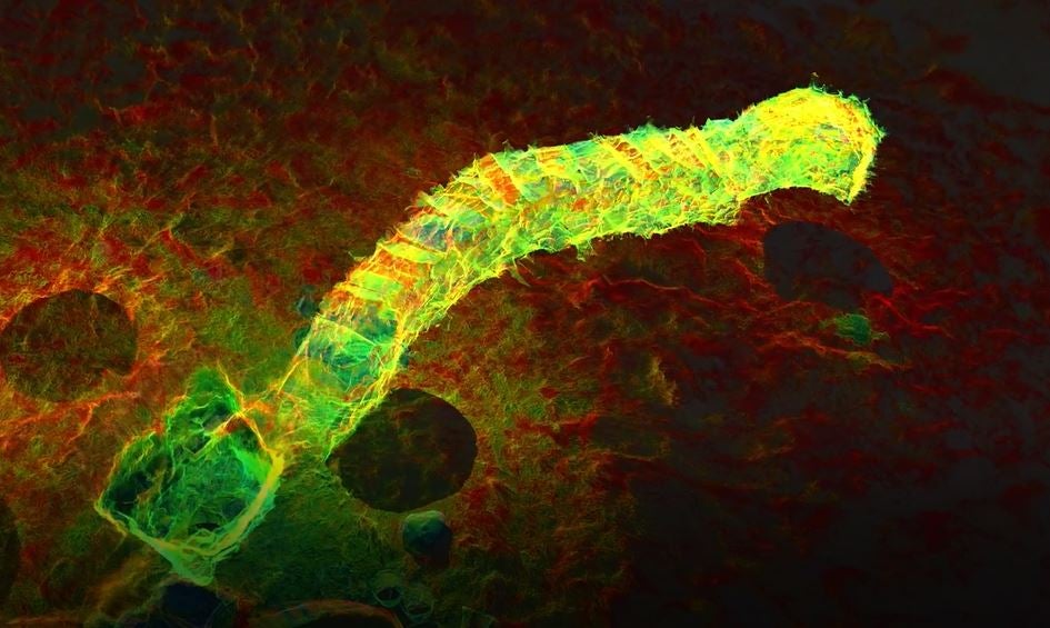
Cracknie, located in Borgies Forest, Scotland, is one of the best preserved Iron Age souterrains in the country

A team of archaeologists are using lasers to map out mysterious Iron Age tunnels scattered about the Scottish highlands which have baffled scholars for years.
The method used involves a device called a Leica BLK360 laser scanner to map the site.
The device fires lasers at the walls 10,000 times a second.
This creates a detailed 3D map of the site, from which measurements can be taken.
These measurements then produce an interactive map of the site, allowing archaeologists to study it without ever stepping foot in the dank tunnel.
The research on the Cracknie souterrain started in February 2022. Cracknie, located in Borgies Forest, Scotland, is one of the best preserved Iron Age souterrains in the country.
The tunnel was built 2,000 years ago and is 13 meters long and one meter high.
Some believe the tunnels were used for storage, but others claim they were used for unknown spiritual or religious practices, or even to imprison slaves and hostages.
Forestry and Land Scotland, which enlisted the archaeologists for the project said: “Souterrains are still an enigma.
“[Cracknie souterrain] is one of the most important scheduled monuments on Scotland’s national forests and land.”
Now, a team led by Graeme Cavers, of AOC Archaeology, is using new technology to uncover the secrets of the tunnels, in a way impossible to do by hand.
SWNS
Join our commenting forum
Join thought-provoking conversations, follow other Independent readers and see their replies
Comments


Bookmark popover
Removed from bookmarks