Mount Hope becomes UK's new highest mountain after satellites reveal previous measurement was wrong
Peak dwarfs the highest mountain in the British Isles: Ben Nevis
Your support helps us to tell the story
From reproductive rights to climate change to Big Tech, The Independent is on the ground when the story is developing. Whether it's investigating the financials of Elon Musk's pro-Trump PAC or producing our latest documentary, 'The A Word', which shines a light on the American women fighting for reproductive rights, we know how important it is to parse out the facts from the messaging.
At such a critical moment in US history, we need reporters on the ground. Your donation allows us to keep sending journalists to speak to both sides of the story.
The Independent is trusted by Americans across the entire political spectrum. And unlike many other quality news outlets, we choose not to lock Americans out of our reporting and analysis with paywalls. We believe quality journalism should be available to everyone, paid for by those who can afford it.
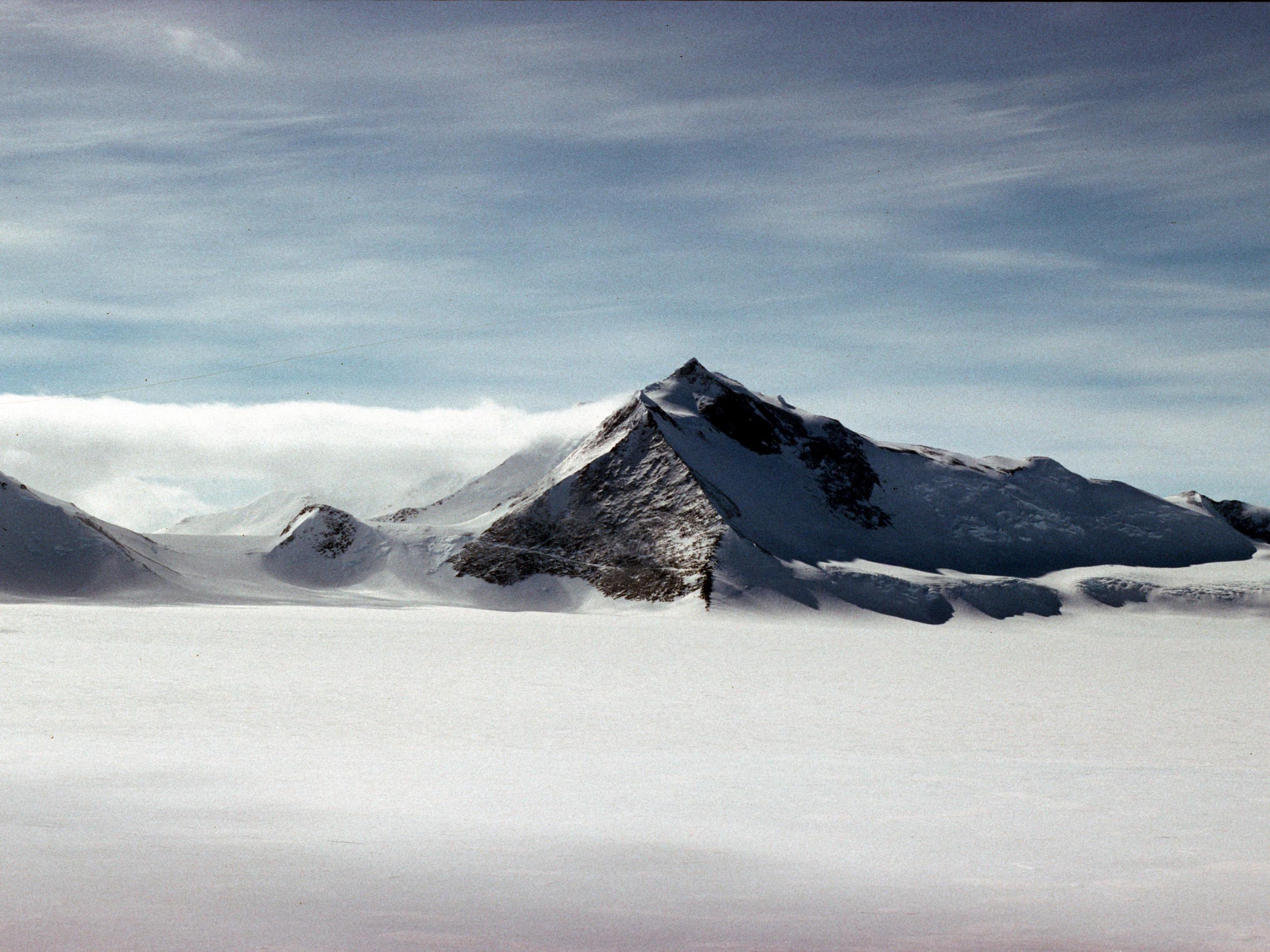
Your support makes all the difference.Britain has a new highest mountain after new satellite data revealed the peak was almost 400 metres taller than previously thought.
Mount Hope, in the British Atlantic Territory, was recently re-measured and found to be 377 metres taller than previous calculations.
This takes it to 3,239 metres, meaning it knocks Mount Jackson, the current title holder at 3,184 metres, off the top spot.
"Modern satellite data highlights how inaccurate previous surveys and maps were for some parts of the region,” said Adrian Fox, head of mapping and geographic information at the British Antarctic Survey (BAS).
Both Hope and Jackson still dwarf the highest mountain in the British Isles, Ben Nevis, which stands at 1,345 metres.
The discovery came as part of a mapping project led by BAS. It was prompted by calls to improve safety for planes that fly over the Antarctic, which are essential in an isolated region with few roads.
"Maps with reliable measurements of the highest peaks are an essential safety requirement for flight planning,” said Mr Fox.
"Accurate elevation data from satellite imagery now allows us to produce these resources for Antarctica, where flying is difficult at the best of times."
A lack of nearby airfields makes flying over the continent dangerous. The proximity to the magnetic south pole also complicates navigation.
"As well as discovering Mount Hope is the highest mountain in the territory, we have identified several other interesting discoveries,” he said.
"These include new mountain heights, ranges in new locations by up to five kilometres and even some new peaks which hadn't been surveyed before.”
Sir Alan Duncan, the Foreign Office minister with responsibility for the polar regions, said: "The discovery of Mount Hope as the UK's tallest peak is a great example of British science making big steps forward in mapping techniques to help us get a better understanding of this fascinating region."
Join our commenting forum
Join thought-provoking conversations, follow other Independent readers and see their replies
Comments