Sahara dust cloud headed to UK as Met Office warns cars could be covered by orange dirt
The Sahara dust will be enveloped by rainfall on Sunday and Monday
The Met Office has warned a huge Saharan dust cloud could be heading towards the United Kingdom.
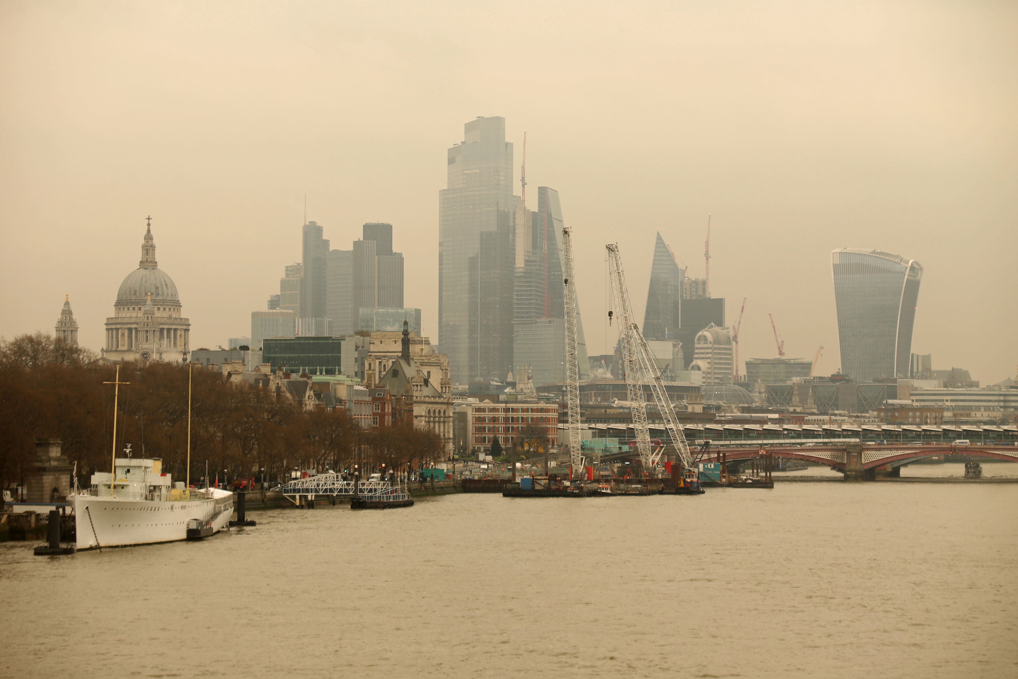
Last year a similar cloud brought spectacular sunsets but motorists saw their vehicles covered in a fine dust that had travelled nearly 5,000km from the Sahara Desert. It is expected the new plume will be washed down from the atmosphere by rain falling as red dirt on Sunday afternoon.

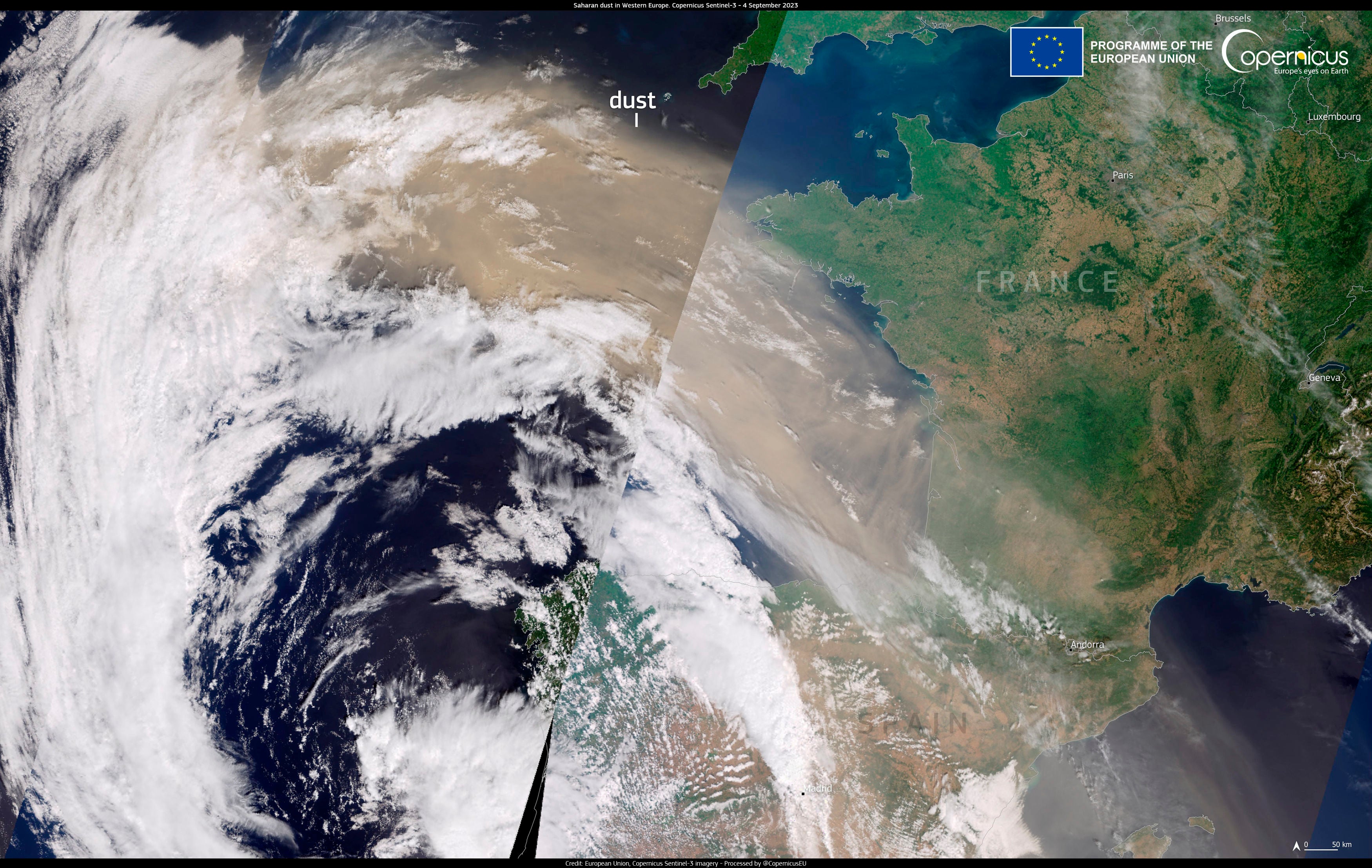
A Met Office spokesperson, posted on X: “This amazing image captures a plume of Saharan dust moving out of Africa and into the Atlantic. Some of this dust will make its way towards us over the coming days...”

Nick Finnis, meteorologist with Netweather, wrote on the service’s blog: “The strengthening southerly wind on Sunday ahead of the cold front moving in from the west will also pull north Sahara dust that’s been spilling out of west Africa out across the Atlantic today.
“The dust load greatest across northern and western areas on Sunday – where southerly wind will be strongest, before the greatest dust load shifts further south and east on Monday.
“Some of this dust will fall onto surfaces on the ground, such as cars, more particularly where rain is expected with an area of low pressure moving northeast... There is some uncertainty over the path of this rain across England and Wales for now.”
A sustained upper wind for a period of days allows uninterrupted travel for the dust in one direction, long enough for the flow of air to reach the UK.
Dust brings spectacular red sunsets because particles in the atmosphere scatter blue light more than red, which is why the sky appears blue during the day.

When the sun is low in the sky, like at dawn and dusk, the light has farther to travel and so the blue light is scattered too much for us to see it, with the Saharan dust exacerbating this effect and turning the skies a deeper red.
The warning came as yellow wind warning is in place for north-east Scotland, with gusts of 50-60mph with a chance of 70mph in exposed areas.
Met Office meteorologist Craig Snell said: “In southern parts it will be a dryer weekend with sunny spells, but there will be a fair bit of cloud around.
“In the north it will remain changeable.”
Sunday is expected to be very mild, reaching 15C in some places, although it will remain wet and windy in the North West.
In the South East it should stay bright and largely dry, but there is a chance of cloud cover at times.
Mr Snell said: “On Sunday, it will turn quite windy again.
“It will be a short-lived windy spell, with gusts reaching 50-60mph in some places but it will not be anything like the recent storms.”
Join our commenting forum
Join thought-provoking conversations, follow other Independent readers and see their replies
Comments
Bookmark popover
Removed from bookmarks