Flood fears as rain moves north, but weekend is set to provide brief respite from washout
Your support helps us to tell the story
From reproductive rights to climate change to Big Tech, The Independent is on the ground when the story is developing. Whether it's investigating the financials of Elon Musk's pro-Trump PAC or producing our latest documentary, 'The A Word', which shines a light on the American women fighting for reproductive rights, we know how important it is to parse out the facts from the messaging.
At such a critical moment in US history, we need reporters on the ground. Your donation allows us to keep sending journalists to speak to both sides of the story.
The Independent is trusted by Americans across the entire political spectrum. And unlike many other quality news outlets, we choose not to lock Americans out of our reporting and analysis with paywalls. We believe quality journalism should be available to everyone, paid for by those who can afford it.
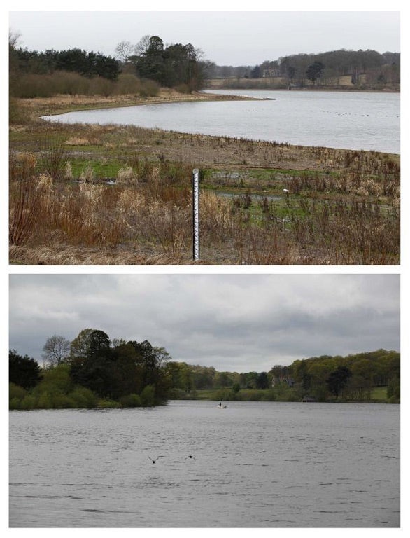
Your support makes all the difference.New flood risks have been forecast today as the heavy rain that fell over large parts of the south of Britain moves north.
The heavy rain had prompted the Met Office to issue severe weather warnings in parts of the South East, South West, East Anglia and Wales.
Forecasters are now predicting the wet weather will hit northern England and central and southern Scotland - with up to 40mm of rain expected to fall over the next 24 hours.
MeteoGroup forecaster Brendan Jones said, "It has been pretty wet across the UK but much of the heavy rain in the south is moving its way north.
"The focus of the heavy rain will be across northern England and central and southern Scotland, with another 20 to 40mm of rain expected to fall in those areas over the next 24 hours.
"Parts of the Midlands and Yorkshire may also see some lively thunderstorms."
Mr Jones said there was the possibility of snow falling in northern parts of Scotland. He added, "It's certainly going to feel chilly particularly in Scotland. There is a possibility in the Scottish mountains the heavy rain could fall as snow."
By lunchtime today, some parts of the South, the Midlands and Wales are predicted to have up to 30mm of rainfall - almost half the monthly average of 66mm in just 24 hours.
The Environment Agency currently has only one flood warning in place, for the lower River Tone in Somerset, but has said there is a risk of localised flooding across the south and south-west of England, south Wales, the Midlands and parts of East Anglia.
There are 29 flood alerts in place across the country.
Environment Agency flood manager Katharine Evans said, “Following an exceptionally wet April which led to some flooding last week, rivers are high and the ground is saturated, meaning that further rainfall brings with it an increased risk of flooding.”
Forecasters have however indicated that the April washout will abate briefly this weekend with a sunny and mostly dry and bright Saturday.
The respite from the rain may only be brief, however, with storms forecast for parts of Britain next week.
The unsettled weather comes after the wettest April on record, but much of England remains officially in a state of drought.
Join our commenting forum
Join thought-provoking conversations, follow other Independent readers and see their replies
Comments