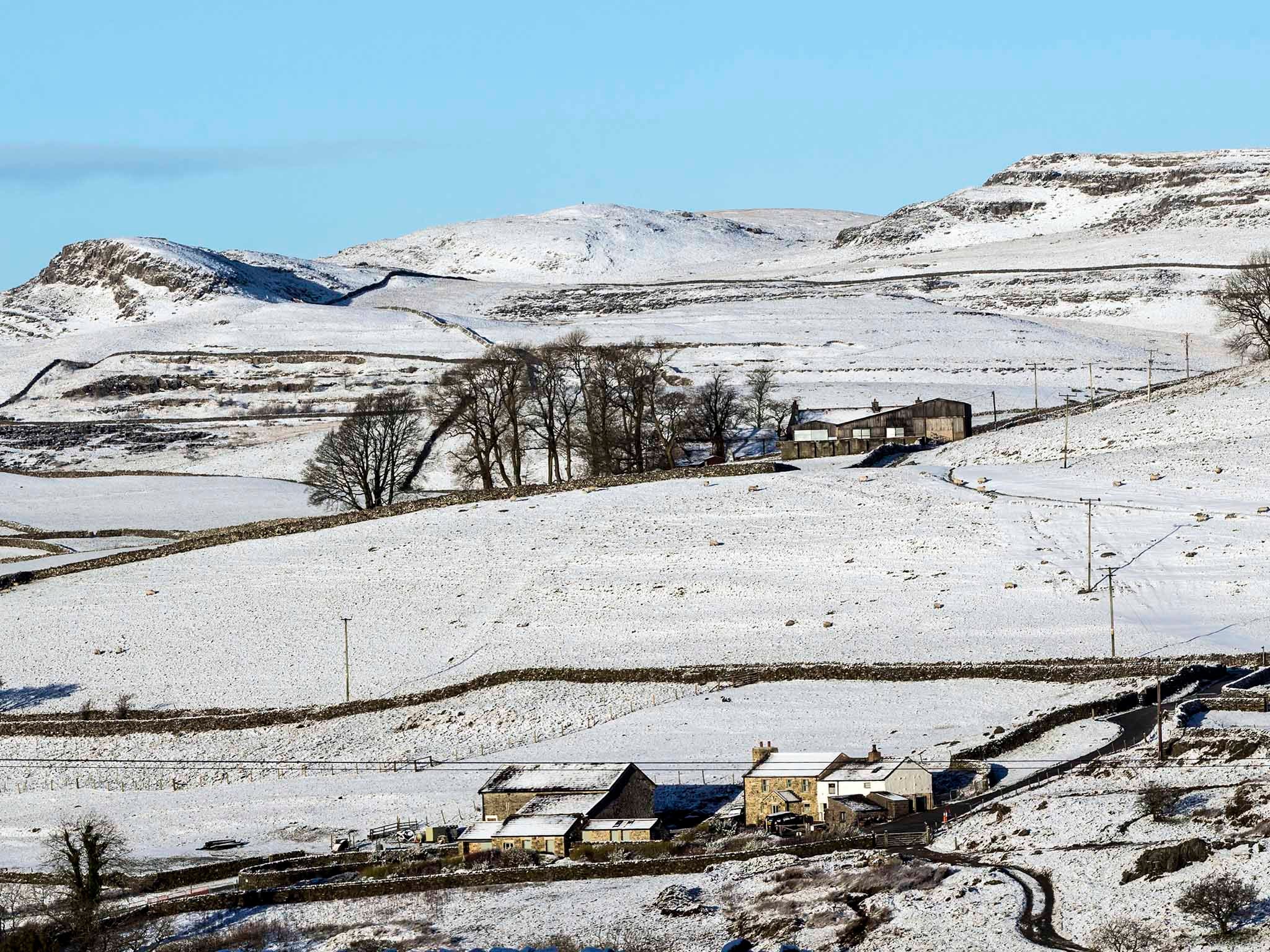
Whole of England to be mapped with lasers to tackle flooding and illegal waste dumps
Data is to be made public to archaeologists, urban planners and even gamers

England’s entire landscape will be mapped with lasers to tackle flooding, help conservation work and even track illegal waste dumps, the Environment Agency said.
Under plans unveiled by the government agency, aircraft equipped with laser scanners will map all 130,000 sq km of the country in 3D, including rivers, fields and national parks, by 2020.
The data gathered will be used to understand flooding risk and plan flood defences, and will also be made available for free for the public and industry including archaeologists, urban planners and even gamers.
Around 75 per cent of the country is already mapped, but there is only sporadic coverage of upland areas and the new project, beginning over winter, will fill in the gaps.
The new data will be better quality than ever before, the Environment Agency said, with the whole country mapped at a one metre resolution using the most up-to-date laser technology to reveal the terrain more clearly.
The “lidar” – light detection and ranging – technology, which measures the distance between the aeroplane and the ground to build up a picture of the terrain, can be used to detect sudden landscape changes which could indicate illegal tips.
In 2014, eight people in Cornwall were fined for dumping thousands of tonnes of waste which was discovered using lidar data, the agency said.
Other government agencies can use it to help improve the environment. For example, Natural England assesses wildlife habitat while the Forestry Commission can learn more about tree cover.
And it can reveal hidden secrets of the country’s past, with archaeologists using it to uncover lost Roman roads in northern England.
Environment Agency chief executive Sir James Bevan said: “This ambitious project will enhance our understanding of England’s unique natural features and landscape, helping us to better understand flood risk, plan effective defences and fight waste crime.
“I’m pleased we are able to gather, use and share such valuable data to contribute to environmental improvements and conservation.
“It’s just one of the many ways the Environment Agency is using technology to help people and wildlife.”
PA
Join our commenting forum
Join thought-provoking conversations, follow other Independent readers and see their replies
Comments
Bookmark popover
Removed from bookmarks