UK records warmest Christmas Eve since 1997 as Met Office gives final verdict on snow
Mild forecast for Christmas Day comes as Christmas Eve sees weather warnings and 70mph putting travel plans at risk
Your support helps us to tell the story
From reproductive rights to climate change to Big Tech, The Independent is on the ground when the story is developing. Whether it's investigating the financials of Elon Musk's pro-Trump PAC or producing our latest documentary, 'The A Word', which shines a light on the American women fighting for reproductive rights, we know how important it is to parse out the facts from the messaging.
At such a critical moment in US history, we need reporters on the ground. Your donation allows us to keep sending journalists to speak to both sides of the story.
The Independent is trusted by Americans across the entire political spectrum. And unlike many other quality news outlets, we choose not to lock Americans out of our reporting and analysis with paywalls. We believe quality journalism should be available to everyone, paid for by those who can afford it.
Your support makes all the difference.Christmas Eve has been declared the warmest in the UK in 26 years after the temperature hit 15.3C in parts of the country.
Despite the threat of snow in parts of the country, the Met Office expects unseasonably mild temperatures across much of the UK on Monday – in the early to mid-teens.
The hottest Christmas Day on record was 15.6C in 1920, and there is a chance – albeit a small one – this could be matched or even beaten, the Met Office says.
The Met Office said temperatures hit 15.3C in Heathrow, west London, and Cippenham in Slough.
“The temperatures will peak today,” Met Office forecaster Dan Stroud told the PA news agency. “There is a slight downward trend in temperatures for Christmas Day, but we’re still expecting them to be comfortably above average.”

The forecaster earlier painted an entirely different picture for Christmas Eve as three yellow weather warnings were in force for Sunday.
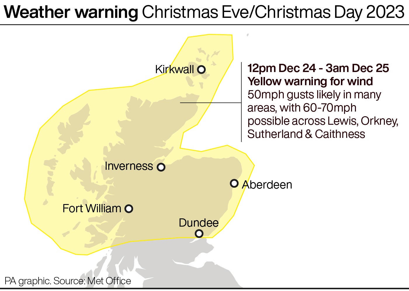
Warnings for wind cover north of Scotland and northern and central areas of England as gusts as high as 70mph are set to lash the region.
In an unfestive twist, Christmas Eve travel plans could be ruined as the Met Office warned of disruption, damage to buildings and power cuts.
Meteorologist Liam Eslick said: “People should make sure to leave more time, especially in exposed areas, it could affect rail networks and ferries.
“People travelling on roads should take care and stay away from high-sided vehicles and, for people who are at home and are going for walks, stay away from coasts.”
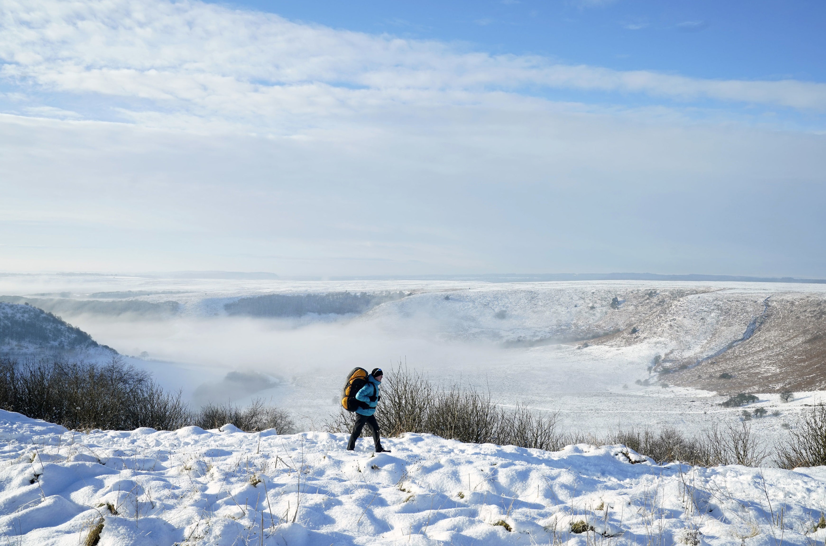
Mr Eslick said there may be snow in the Scottish mountains, but it is not looking likely that there will be a white Christmas in England.
A yellow warning for rain is in force covering much of Wales, with forecasters warning that flooding and travel disruption is possible, and will last until 6pm on Christmas Eve.
Between 20mm to 40mm of rain is expected widely and 60mm to 80mm on higher ground.
“It’s looking like a damp picture across the UK, heavy rain possibly in Wales, past Christmas lunch there could be some breaks if people are looking to go out and about,” Mr Eslick said. “Boxing Day is probably going to be the best day if people are looking to go for a walk.”

The average December temperature is usually between 7C and 8C. The hottest Christmas Day on record was 15.6C in 1920, so there is a “small chance” of this year being a record, the Met Office said.
Another yellow rain warning is in force for western Scotland until 11.45pm on Saturday, with 20mm to 55mm of rain expected widely and 80mm to 100mm on higher ground.
A snow and ice warning is in place for north and east Scotland until 3pm on Saturday.

MET OFFICE OUTLOOK
Sunday:
A very windy Christmas Eve, especially for northeast England and Scotland, with severe gales possible. Turning cooler in the north with sunny spells and showers, some heavy. Rather cloudy further south with outbreaks of rain and drizzle, though very mild.
Sunday Evening:
Remaining mild and cloudy in the south with drizzle at times. Further showery rain arriving into Northern Ireland and northern England; clear spells elsewhere. Winds gradually easing. Frosty across Scotland.
Monday:
Rain spreading across Wales and central England on Christmas Day. Further rain and hill snow for Scotland. Brighter breaks possible in between. Blustery and feeling colder than Sunday for most.
Outlook for Tuesday to Thursday:
Drier and brighter on Boxing Day for many with sunny spells. Turning unsettled once again from Wednesday with strong winds, heavy rain, and snow over hills in the north.

Join our commenting forum
Join thought-provoking conversations, follow other Independent readers and see their replies
Comments