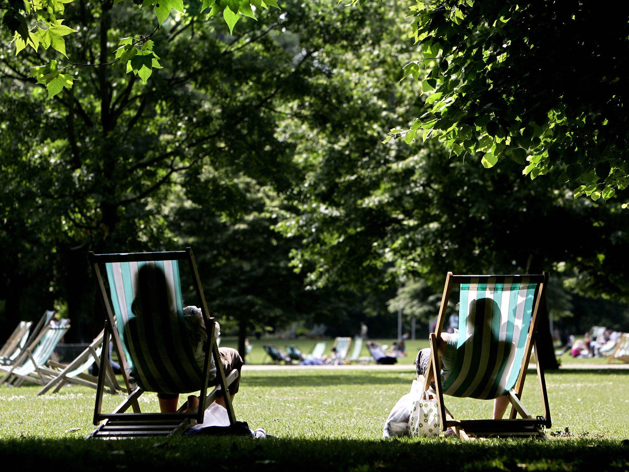
UK weather: Britain could be in for the hottest summer ever... but don't break out the sun cream just yet
Met Office 30-day forecast gives one-in-four chance Britain could experience one of the hottest summers ever

Your support helps us to tell the story
From reproductive rights to climate change to Big Tech, The Independent is on the ground when the story is developing. Whether it's investigating the financials of Elon Musk's pro-Trump PAC or producing our latest documentary, 'The A Word', which shines a light on the American women fighting for reproductive rights, we know how important it is to parse out the facts from the messaging.
At such a critical moment in US history, we need reporters on the ground. Your donation allows us to keep sending journalists to speak to both sides of the story.
The Independent is trusted by Americans across the entire political spectrum. And unlike many other quality news outlets, we choose not to lock Americans out of our reporting and analysis with paywalls. We believe quality journalism should be available to everyone, paid for by those who can afford it.
Your support makes all the difference.Britain could be in for three scorching summer months of glorious hot weather – with a 25 per cent chance that it may be the hottest summer ever, the Met Office has forecast.
The three-month weather outlook for the UK for June to August has revealed we are likely to see temperatures which are close to or above average over the summer with a one-in-four chance that it could be one of the warmest seasons ever and just a one-in-ten chance it could be among the coldest.
Before you reach for the barbecue and apply the sun cream, however, the Met Office has tempered the forecast by suggesting that the above average temperatures do not mean the country will necessarily be basking in sunshine.
The warm temperatures could still be reached with milder nights, which can occur in summer in cloudy and wet weather, the forecasters said.
The 30-day forecast predicts that after today, the weather is expected to settle down with many areas having some warm sunshine, although there are still likely to be showers in the north west.
"From mid June to early July, the indications are that the weather will be close to what is climatologically normal for this time of year - giving us a tendency for occasional spells of unsettled weather interspersed with fine and warm spells, much as we have seen recently," the Met Office blog said.
The Met Office has predicted that the average temperature across day and night could be just under 60F (15.25C) - which may be enough to make it one of the nine warmest seasons on record. The warmest ever summer in history occurred in 2006 with average temperature of 15.78C.
The forecaster has issued information for contingency planners and businesses to allow them to plan ahead, but stressed that the information is based on an assessment of risk and may not be useful for the general public.
The forecaster is unlikely to make a committed forecast public because of the relative unreliability of 30-day forecasts. The Met Office has previously been criticised for issuing predictions of a 'barbecue summer' in 2009 that subsequently saw Britain deluged with rain and flooding.
On the Met Office blog the forecaster stressed that though the odds for a sizzling summer were good, it may not yet be time to break out the sun cream: "As with any horse race, it’s always possible that the favourite won’t win – so these probability scenarios have to be used in the right context", they write.
"This is why they’re useful for planners and businesses who plan ahead based on risk, but not that useful for the general public who would like to know which fortnight in August will have the best weather for a holiday."
"The current outlook for the whole of the June-July-August period for the whole of the UK says the chance of the warmest scenario happening is 25 per cent and the chance that the period will fall into the coldest scenario is 10 per cent."
"So, while the current three month outlook suggests there is a higher chance of above average temperatures than below average, it does not tell us about the type of weather we may see."
Yesterday the Met Office issued its second severe weather warning for heavy rain has been in less than a week.
The Met Office said the downpours could bring a risk of surface water flooding and there could be hail and gusting winds adding to difficulties in some areas. Around 20mm (0.8ins) of rain is predicted to fall in an hour in some areas.
A yellow "be aware" weather warning has been issued by the Met Office for Yorkshire and Humber, the East and West Midlands, the East of England and London and south east England. The warnings, in force until 8pm tonight, mean there is a moderate risk of some damage to infrastructure and local disruption.
Parts of the UK experienced heavy rain and thunder yesterday.
The Met Office's 30-day forecast predicts that after today, the weather is expected to settle down with many areas having some warm sunshine, although there are still likely to be showers in the north west.
"From mid June to early July, the indications are that the weather will be close to what is climatologically normal for this time of year - giving us a tendency for occasional spells of unsettled weather interspersed with fine and warm spells, much as we have seen recently," the Met Office blog said.
Join our commenting forum
Join thought-provoking conversations, follow other Independent readers and see their replies
Comments