What is an amber weather warning?
The second highest level of warning and has been issued across three regions of the UK

Your support helps us to tell the story
From reproductive rights to climate change to Big Tech, The Independent is on the ground when the story is developing. Whether it's investigating the financials of Elon Musk's pro-Trump PAC or producing our latest documentary, 'The A Word', which shines a light on the American women fighting for reproductive rights, we know how important it is to parse out the facts from the messaging.
At such a critical moment in US history, we need reporters on the ground. Your donation allows us to keep sending journalists to speak to both sides of the story.
The Independent is trusted by Americans across the entire political spectrum. And unlike many other quality news outlets, we choose not to lock Americans out of our reporting and analysis with paywalls. We believe quality journalism should be available to everyone, paid for by those who can afford it.
Your support makes all the difference.The Met Office has issued amber weather warnings across the UK.
Yellow weather alerts for snow and ice are currently in place across large swathes of the UK - however, forecasters have issued more polar amber warnings in three regions.
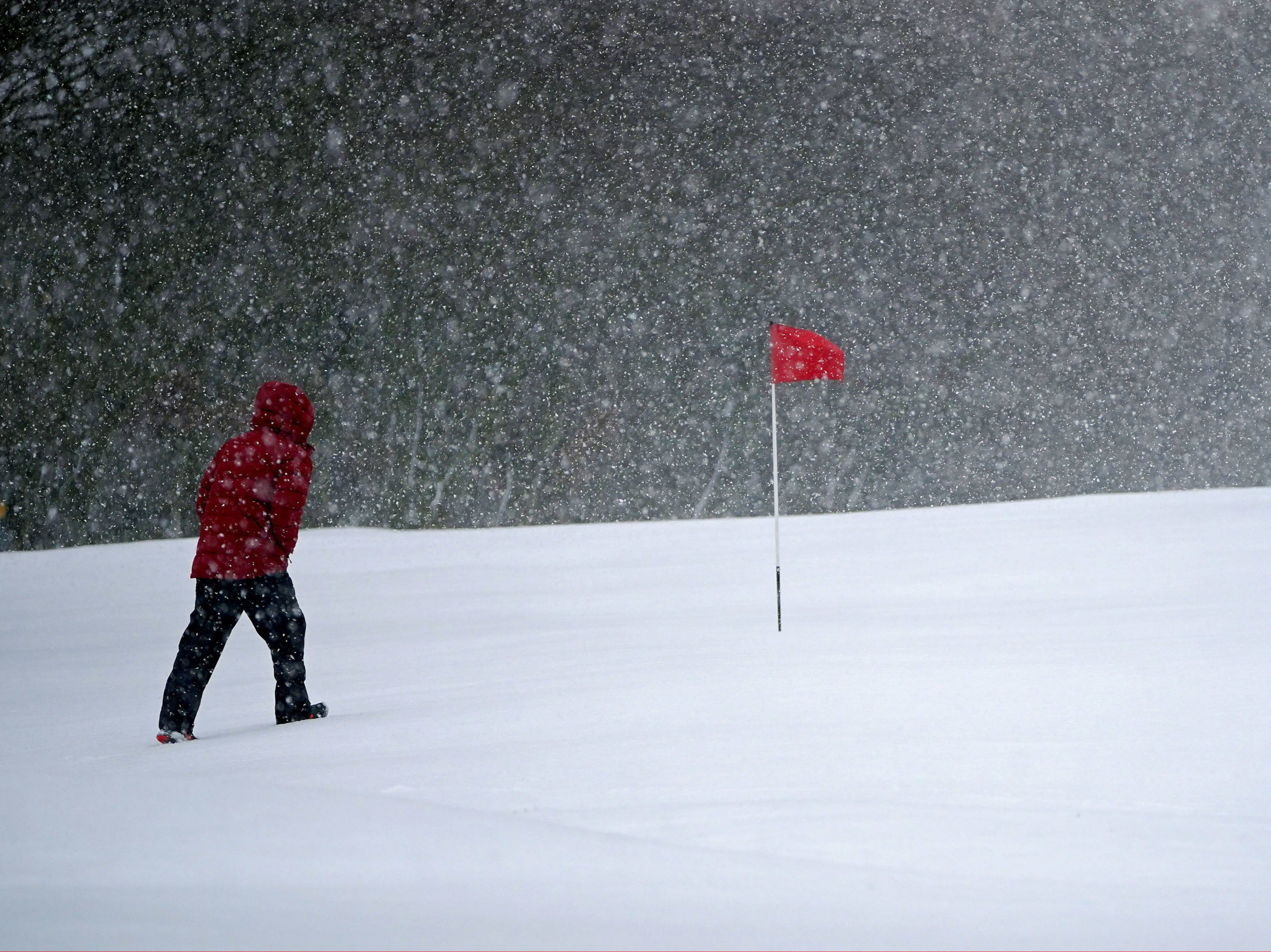
An amber warning is the second highest level that can be issued by the Met Office and is linked with heavy snowfall likely to cause significant disruption this week.
Temperatures dipped to -16°C last night at Altnaharra, which is the coldest March night in the UK since March 2010.
Northern and eastern areas of Wales have an amber warning for snow and ice which comes into force from midday Thursday.
Within this warning area, many areas are likely to see 10 to 20cm of snow with a chance of up to 30cm falling.
An Amber warning for snow has also been issued covering an area from the south of the Peak District up to the North Pennines, from 3pm Thursday to 12pm Friday.
10 to 20cm of snow is likely to fall across much of the area, with 30 to 40cm in some places, and will be accompanied by strong winds.
Eastern areas of Northern Ireland have an Amber warning for snow and ice from 3pm Thursday to Friday morning, with a chance of 10 to 20cm of snow.
Those living in amber-alerted zones should watch out for:
- Travel delays on roads, stranding vehicles and passengers
- Delays and cancellations to rail and air travel
- Rural communities could become cut off
- Power cuts and other services, such as mobile phone coverage, may be affected
A spokesperson from the Met Office said that strong winds drifting with the snow showers will bring blizzard conditions across northern England and Wales, as well as parts of Northern Ireland.
They added: “Ice will be a continuing hazard for many in the forecast period, with very low overnight temperatures likely to exacerbate continued likely travel disruption.”


Join our commenting forum
Join thought-provoking conversations, follow other Independent readers and see their replies
0Comments