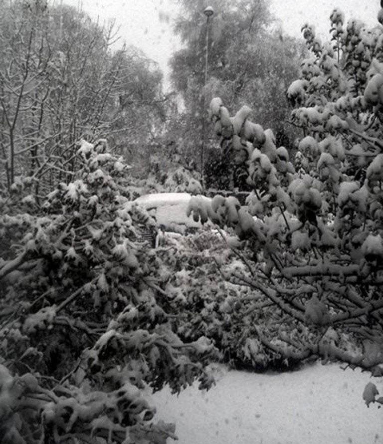
After the wind, rain and floods Britain braces for snow as forecasters predict coldest winter for 100 years
Temperatures are expected to fall dramatically this evening leading to rain in some areas turning to sleet and possibly snow

Your support helps us to tell the story
From reproductive rights to climate change to Big Tech, The Independent is on the ground when the story is developing. Whether it's investigating the financials of Elon Musk's pro-Trump PAC or producing our latest documentary, 'The A Word', which shines a light on the American women fighting for reproductive rights, we know how important it is to parse out the facts from the messaging.
At such a critical moment in US history, we need reporters on the ground. Your donation allows us to keep sending journalists to speak to both sides of the story.
The Independent is trusted by Americans across the entire political spectrum. And unlike many other quality news outlets, we choose not to lock Americans out of our reporting and analysis with paywalls. We believe quality journalism should be available to everyone, paid for by those who can afford it.
Your support makes all the difference.After the high-winds, rain and subsequent flooding Britain is now bracing for a big freeze as forecasters predict the country could face its coldest winter for 100 years.
Temperatures are expected to fall dramatically this evening, leading to rain in some areas turning to sleet, and possibly, snow.
The cold snap, which is expected to last into next week, could see temperatures fall as low as minus 3°c (27°f) in some parts of the country, potentially creating dangerous travel conditions, and causing yet further problems for already struggling flood-stricken areas.
Northerly winds, which are set to sweep across the country, are likely to push the recent deluge of rain away, however, the change in conditions will bring with it falling temperatures, frost and fog.
The Met Office is warning that areas hit by flooding could see icy stretches developing on untreated surfaces.
Eddy Carroll, Met Office Chief Forecaster, said: "The UK will see some respite from the recent rain but showers will affect north-eastern parts of the England for the next few days. People should be aware of the increasing risk of overnight frost, ice and freezing fog patches as the week wears on.
"As it becomes colder we will also see showers affecting north-eastern parts of the UK turn increasingly wintry, at first on hills but with an increasing chance at lower levels towards the end of the week."
The upcoming cold-snap heralds the arrival of a potentially freezing winter ahead with some forecasters saying temperatures could dip as low as minus 20°c (4°f) in some areas through December and January.
It is feared that the falling temperatures, snow and ice could case widespread disruption and transport chaos.
The respite from the rain, however, could be short-lived, as forecasters say heavy showers could return early next week, meaning more woe for already battered flood-hit areas.
The Department of Health has put out a statement ahead of the cold weather saying: "Low temperatures can be dangerous, especially for the very young or very old or those with chronic disease."
Areas that are thought likely to suffer particularly from the bad weather include northeast England, northwest England and Yorkshire and the Humber regions. The Met Office warned of ice and freezing fog in these areas.
The Midlands also has a 30-40 percent chance of getting freezing conditions, with temperatures in the highlighted areas expect to start falling today and reach their lowest on Friday evening.
The Met Office said: "This weather could increase the health risks to vulnerable patients and disrupt the delivery of services.
"As the wind becomes light [it] will allow sharp overnight frosts to occur and lead to lower mean temperatures.
"Northern and some western areas of the UK will become the coldest, and there will be an increased likelihood of ice on surfaces, especially where surfaces remain wet from standing water or run-off. Freezing fog remains likely."
Despite the upcoming cold-snap in Britain, today meterologists confirmed that 2012 is on course to be the ninth warmest on record.
The World Meteorological Organisation said that using data up until October, 2012's average global temperature is 14.45C, almost half a degree centigrade above the long-term average of 14C for 1961 to 1990.
The year is shaping up to be cooler than the average for the decade due to a La Nina weather pattern in the Pacific which cools global temperatures, although it is warmer than last year which was also affected by La Nina conditions.
But every year for the last 20 years has been warmer than the average for 1961-1990, according to three sets of data collected and analysed by scientists in the US and the UK, including one by the Met Office and University of East Anglia.
The Met Office said that, taking uncertainties over measuring global surface temperatures into account, 2012 is very likely to be between the fourth and 14th warmest year in records dating back to 1850.
Join our commenting forum
Join thought-provoking conversations, follow other Independent readers and see their replies
Comments