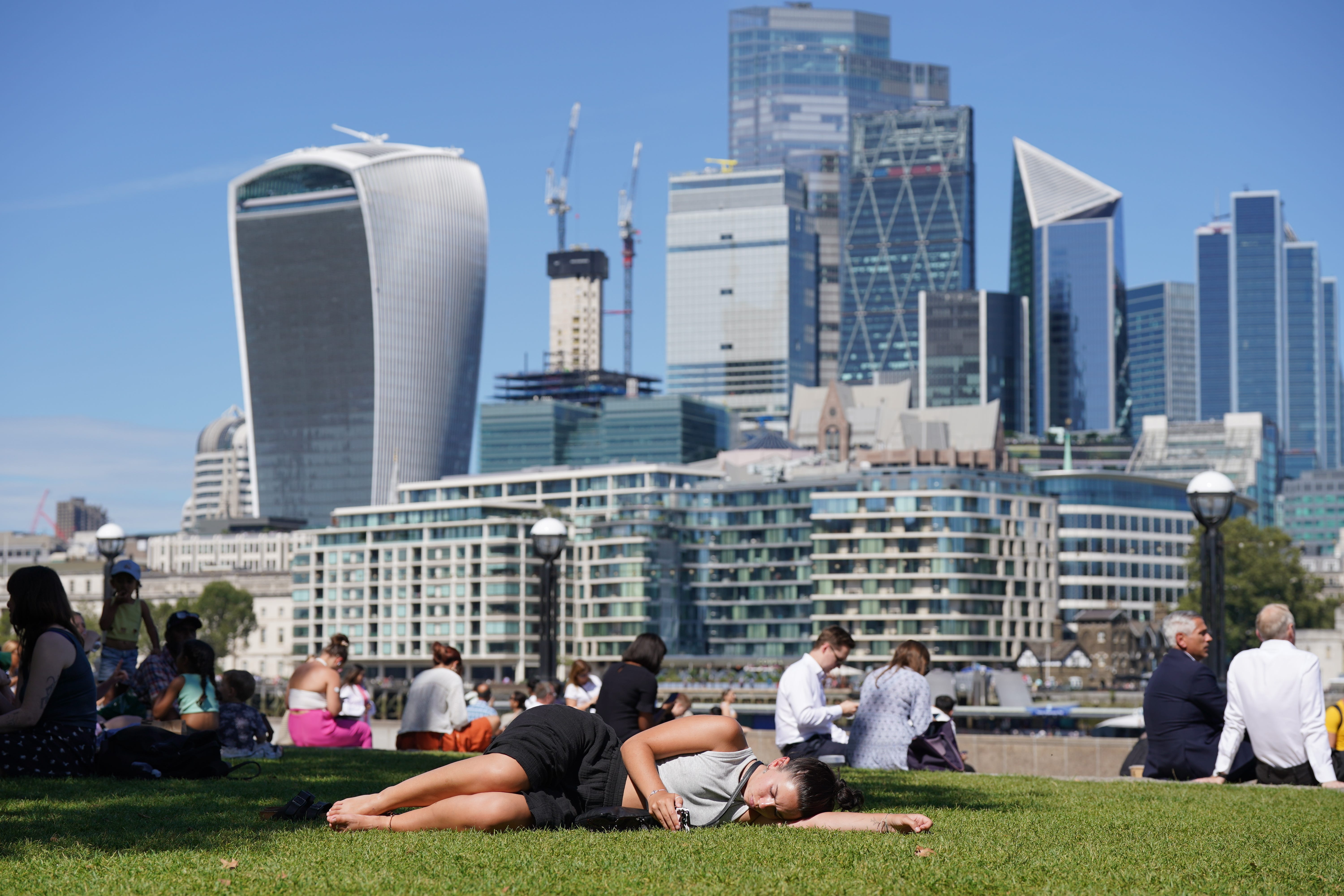
‘Hotter than average’ September could be on its way, forecasters say
Warmer weather might make up for one of the wettest July months on record.

Your support helps us to tell the story
From reproductive rights to climate change to Big Tech, The Independent is on the ground when the story is developing. Whether it's investigating the financials of Elon Musk's pro-Trump PAC or producing our latest documentary, 'The A Word', which shines a light on the American women fighting for reproductive rights, we know how important it is to parse out the facts from the messaging.
At such a critical moment in US history, we need reporters on the ground. Your donation allows us to keep sending journalists to speak to both sides of the story.
The Independent is trusted by Americans across the entire political spectrum. And unlike many other quality news outlets, we choose not to lock Americans out of our reporting and analysis with paywalls. We believe quality journalism should be available to everyone, paid for by those who can afford it.
Your support makes all the difference.Fears about the “end of summer” have eased after forecasters said temperatures may reach the mid-20s in late September.
The Met Office said that, while temperatures are unlikely to exceed the annual high of 32.2C recorded in Surrey in June, the country might still enjoy hotter-than-average weather in early autumn.
This could make up for one of the wettest July months on record followed by a mixed bag of sunshine and rain in August.
It comes after forecasters said that they could not rule out the current hot spell being the last this year before temperatures taper off.
On Thursday, parts of south east England will be battered by rain as the Met Office issued a yellow warning for thunderstorms, bringing an end to the dry weather enjoyed on Wednesday.
The warning will be in place across parts of Kent, Sussex, and Hampshire, including Canterbury, Brighton, and Portsmouth between 7am and midday on Thursday.
According to the forecaster, a yellow warning for thunderstorms brings an increased risk of damage to buildings due to lighting strikes and flooding of homes.
Forecasters said that, as we approach hurricane season in the Atlantic, the weather can become increasingly “unpredictable” as tropical storms push drier and warmer conditions our way.
Met Office spokesman Stephen Dixon said: “Seeing annual highs becomes increasingly unlikely as we approach autumn.
“Temperatures are likely to be near average at the beginning of September (but) there are signs that temperatures will be above average later in the month.
“The average is high teens possibly beyond the further south and east you go.
“The mid-20s wouldn’t be unheard of.”