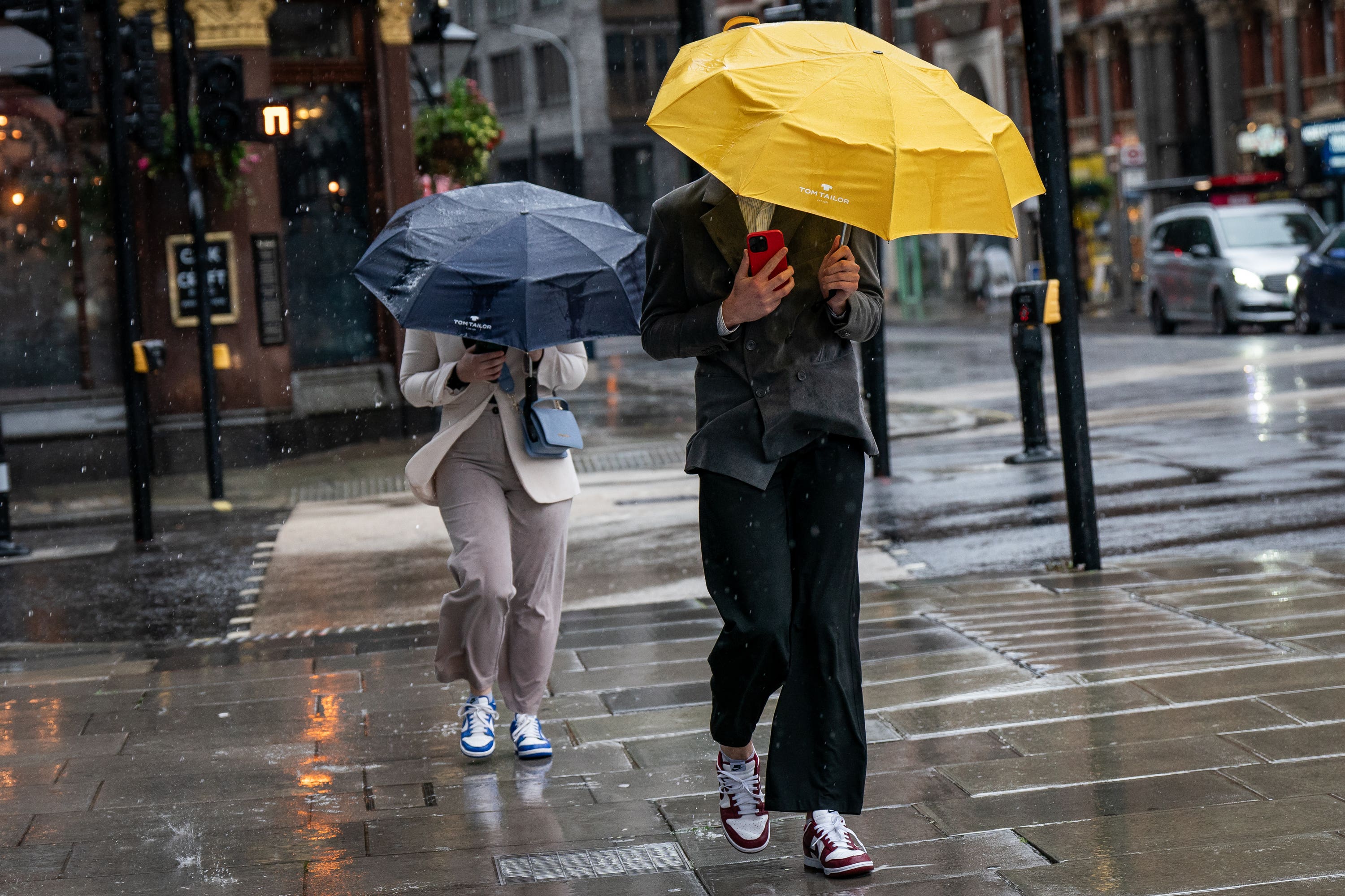
‘Murky and bleak’ start to Sunday as parts of England face heavy rain
The Met Office issued two yellow weather warnings for rain across parts of England.

A “murky and bleak” start to Sunday is expected across parts of England which may get soaked by rain.
The Met Office issued two yellow weather warnings for rain across parts of England and the Environment Agency said there were 75 flood warnings and 262 flood alerts by Saturday evening.
There may be “quite a lot of low cloud, mist and fog developing during the night as well as turning fairly murky for many of us”, said Met Office meteorologist Jonathan Vautrey.
The agency has issued a yellow weather warning for rain covering the East Midlands, the East of England, the North East and Yorkshire and the Humber, which runs through to Sunday noon.
It warned that “some flooding is likely” and there could be transport disruption as many areas will see 10-15mm of rain, with the wettest spots getting 25-30mm.
This is falling on already saturated ground.
The rain should clear from the south of the warning area by dawn on Sunday, and from the North East by early afternoon.
Flooding and travel disruption could also be on the cards, according to another yellow rain warning for the South West which runs until 6am on Sunday.
Residents have been warned they could be drenched by heavy showers.
The warning said: “The showers may form into narrow lines where there is the possibility of 15-20mm of rain falling within two-three hours and 20-30mm through the period of the warning.
“Given already saturated ground, this may lead to surface water flooding in places.”
In an online forecast Mr Vautrey added: “A few lucky ones in parts of western Scotland and maybe into parts of Wales as well will see come clearer spells overnight.
“Here underneath the starrier skies temperatures may drop off a touch more.
“Can’t rule out the odd touch of frost in rural spots but underneath the cloud elsewhere temperatures will likely stay above freezing for most of us – but it will be a murky and bleak start to Sunday for many of us.
“The area of rain in the east will only very slowly clear its way off and particularly for Aberdeenshire, the Northern Isles, it is going to be a very wet day right throughout with some brisk winds in the north east as well.”
Despite some bright spells in the afternoon, showers could rush in from the west and rain in the far north east will be persistent into Sunday evening.
Temperatures on Sunday are expected to be around 10-11C which is to be expected at this time of year.
Bookmark popover
Removed from bookmarks