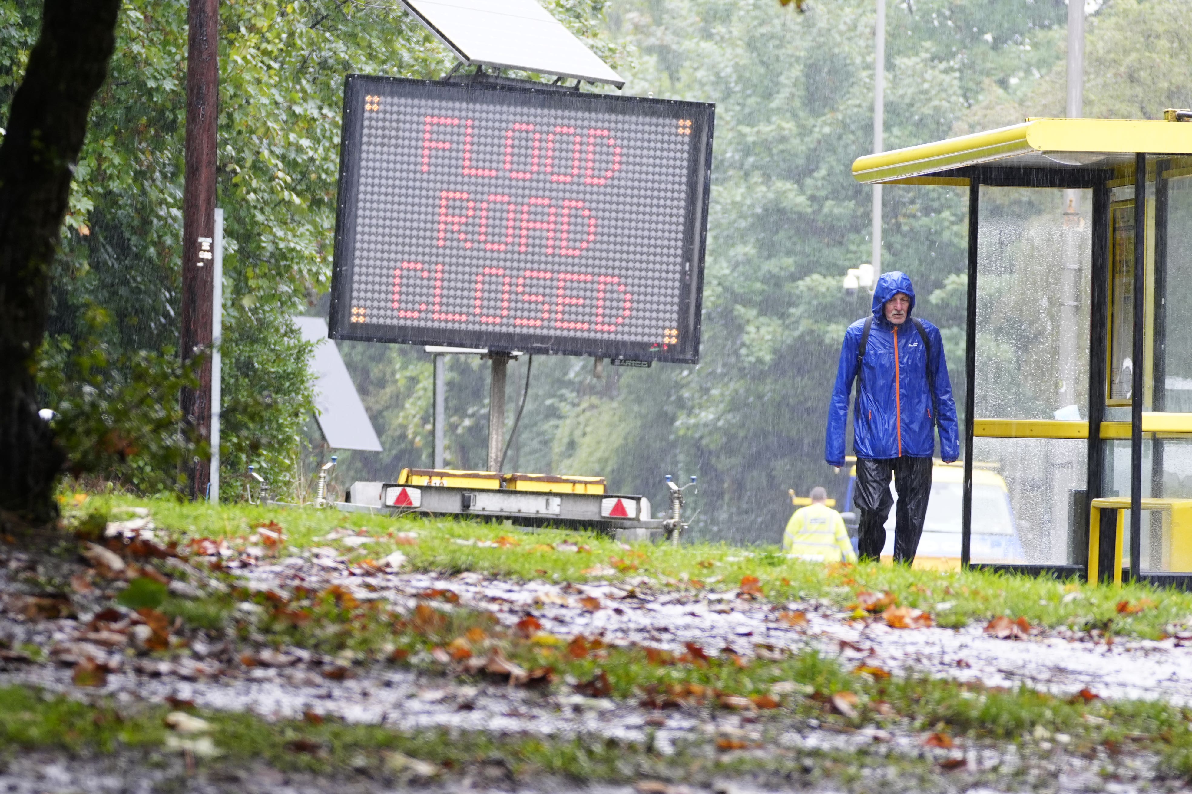
Brief dry spell to replace heavy rain ahead of wet weekend, says Met Office
Yellow rain warnings have been issued by the Met Office covering much of the Midlands and northern England on Tuesday.

Heavy rain will be replaced by dry spells across much of the UK in a brief respite before a wet weekend, the Met Office has said.
Yellow rain warnings have been issued by the Met Office covering much of the Midlands and northern England on Monday and Tuesday.
One warning covers eastern England between 8am on Monday and 3am on Tuesday, and the other across North Wales and north-west England between 00.30am and 8pm on Monday.
Both warnings forecast 20-40mm of rainfall widely, with 60mm also possible in a few places across North Wales and north-west England and 60-80mm in some areas in eastern England, the Met Office said.
The rain is expected to cause some flooding and disruption to journey times, and commuters are advised to plan accordingly.
Met Office spokesman Stephen Dixon said a low-pressure system centred on the heart of the UK had brought the strong winds and heavy rain.
“The focus of that heavier rainfall today is very much the north of England, and parts of the Midlands,” he said.
He said the weather remained “unsettled” on Monday in other parts of the UK too.
“Elsewhere, today, it’s a fairly unsettled day of weather with sporadic showers, perhaps a little more dry weather the further southwest you go.
“But even here still feeling rather cloudy and unsettled for much of the day.”
He said the low pressure system was gradually moving east, with the focus of the rainfall moving to the east of England on Tuesday.
“Generally there will be a dryer feel for much of the UK tomorrow, and getting dryer as the day goes on as well,” he said.
“But still feeling generally wet in east areas, including parts of East Anglia and London in that as well.”
He added: “On Wednesday the outlook is largely dry weather, perhaps.
“A touch of drizzle and some showers in parts of the south of England on Wednesday, but dryer weather is the main theme.
“That dryer weather will continue into Thursday as well, with sporadic showers at times drifting in off the north coast.”
However, he said this brief interlude of dry weather would be replaced by a second low-pressure system on Friday and heading into the weekend.
“By the time we get into Friday afternoon and towards the weekend we’re looking at further rain moving into western areas of Scotland, Northern Ireland, and then by the time we get to Saturday that is more widely wet for much of the UK,” he said.
It comes as provisional statistics published by the Met Office showed that some counties in the UK experienced more than 250% average rainfall in September, with six counties in in England experiencing record rainfall totals.
Bookmark popover
Removed from bookmarks