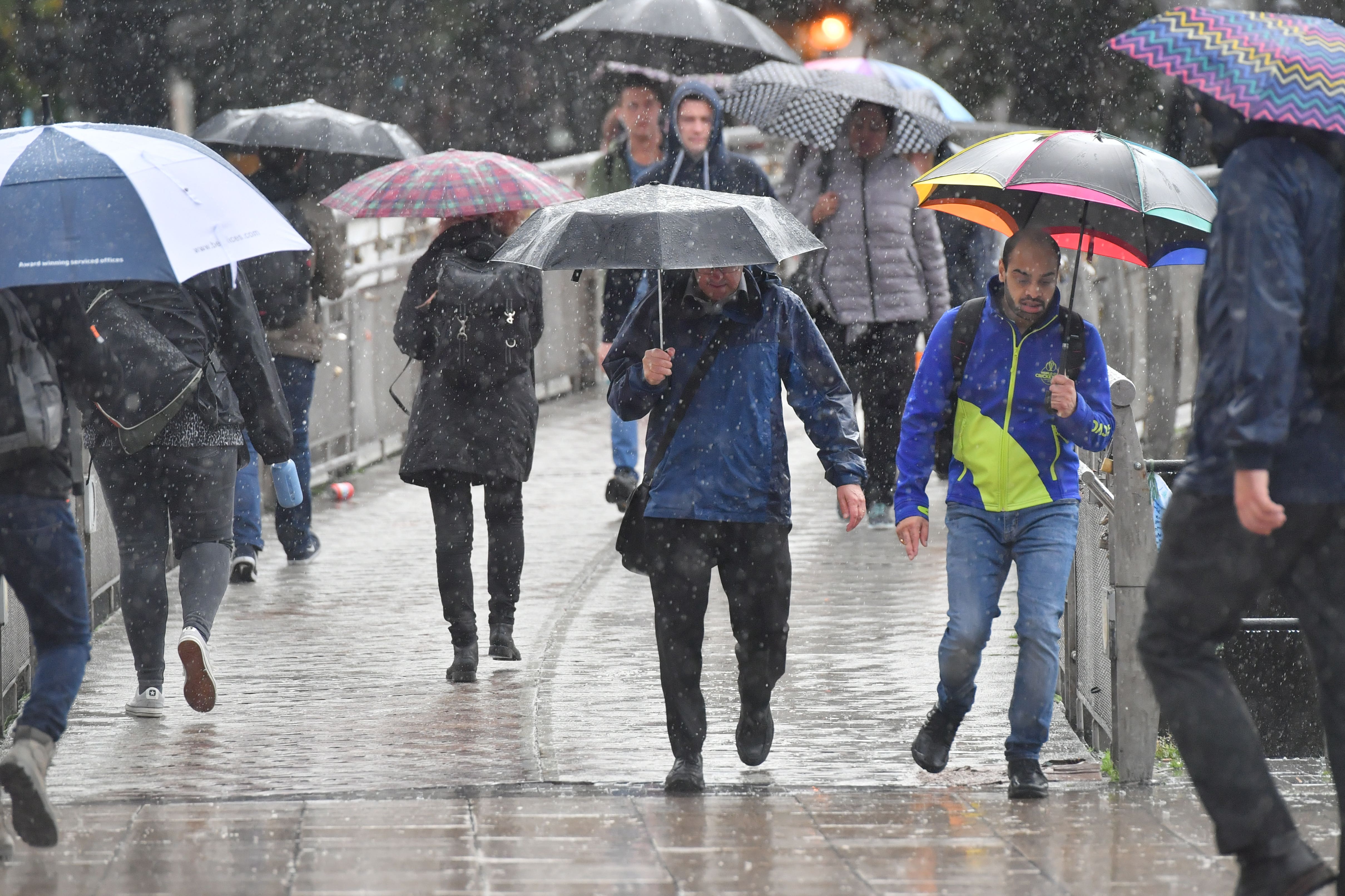
Thunderstorms and heavy showers could bring flooding on Sunday
The Met Office has issued a yellow warning as parts of England face potential disruption from rain, lightning and hail.
Your support helps us to tell the story
From reproductive rights to climate change to Big Tech, The Independent is on the ground when the story is developing. Whether it's investigating the financials of Elon Musk's pro-Trump PAC or producing our latest documentary, 'The A Word', which shines a light on the American women fighting for reproductive rights, we know how important it is to parse out the facts from the messaging.
At such a critical moment in US history, we need reporters on the ground. Your donation allows us to keep sending journalists to speak to both sides of the story.
The Independent is trusted by Americans across the entire political spectrum. And unlike many other quality news outlets, we choose not to lock Americans out of our reporting and analysis with paywalls. We believe quality journalism should be available to everyone, paid for by those who can afford it.
Your support makes all the difference.Parts of the country could be hit by flooding over the weekend because of heavy showers and thunderstorms.
The Met Office has issued a yellow warning for thunderstorms covering a large swathe of England and eastern Wales from 4am until 9pm on Sunday.
Meteorologists said there was a “small chance of flooding and disruption from heavy showers and thunderstorms” on Sunday in a few places, including power cuts.
“There is a small chance that homes and businesses could be flooded quickly, with damage to some buildings from floodwater, lightning strikes, hail or strong winds,” a Met Office spokesman said.
They also said it could lead to difficult driving conditions and some road closures, as well as cancellations to some train and bus services.
Thundery downpours are likely to hit the south of England, the Midlands, the north of England and eastern parts of Wales on Sunday.
“A few showers and isolated thunderstorms are expected to develop across parts of southern England on Saturday night, but by Sunday morning there is an increasing risk of more active and organised heavy showers and thunderstorms moving in to, or developing across, parts of southern England,” the spokesman said.
“The risk of storms will then steadily transfer broadly northwards through the afternoon and into the early evening.
“The extent of these thunderstorms is very uncertain, and many places will miss them, but where they do occur, 30 to 40 mm of rain may fall in less than an hour with perhaps over 75 mm in one or two places, leading to a chance of flooding and disruption.
“Frequent lightning strikes and hail will be additional hazards, most likely across southern and central England.”
Summer has been cooler than usual in the UK with “slightly below average sun”, the latest Met Office statistics show.
Rainfall has varied between regions but has been average.
A heatwave swept parts of the UK in September last year, with temperatures topping 30C somewhere in the country for seven consecutive days.