Heavy rain to batter Britons as temperatures drop below freezing in cold snap
As much as two inches of rain could fall in parts of southern England and Wales over Thursday and Friday.
Your support helps us to tell the story
From reproductive rights to climate change to Big Tech, The Independent is on the ground when the story is developing. Whether it's investigating the financials of Elon Musk's pro-Trump PAC or producing our latest documentary, 'The A Word', which shines a light on the American women fighting for reproductive rights, we know how important it is to parse out the facts from the messaging.
At such a critical moment in US history, we need reporters on the ground. Your donation allows us to keep sending journalists to speak to both sides of the story.
The Independent is trusted by Americans across the entire political spectrum. And unlike many other quality news outlets, we choose not to lock Americans out of our reporting and analysis with paywalls. We believe quality journalism should be available to everyone, paid for by those who can afford it.
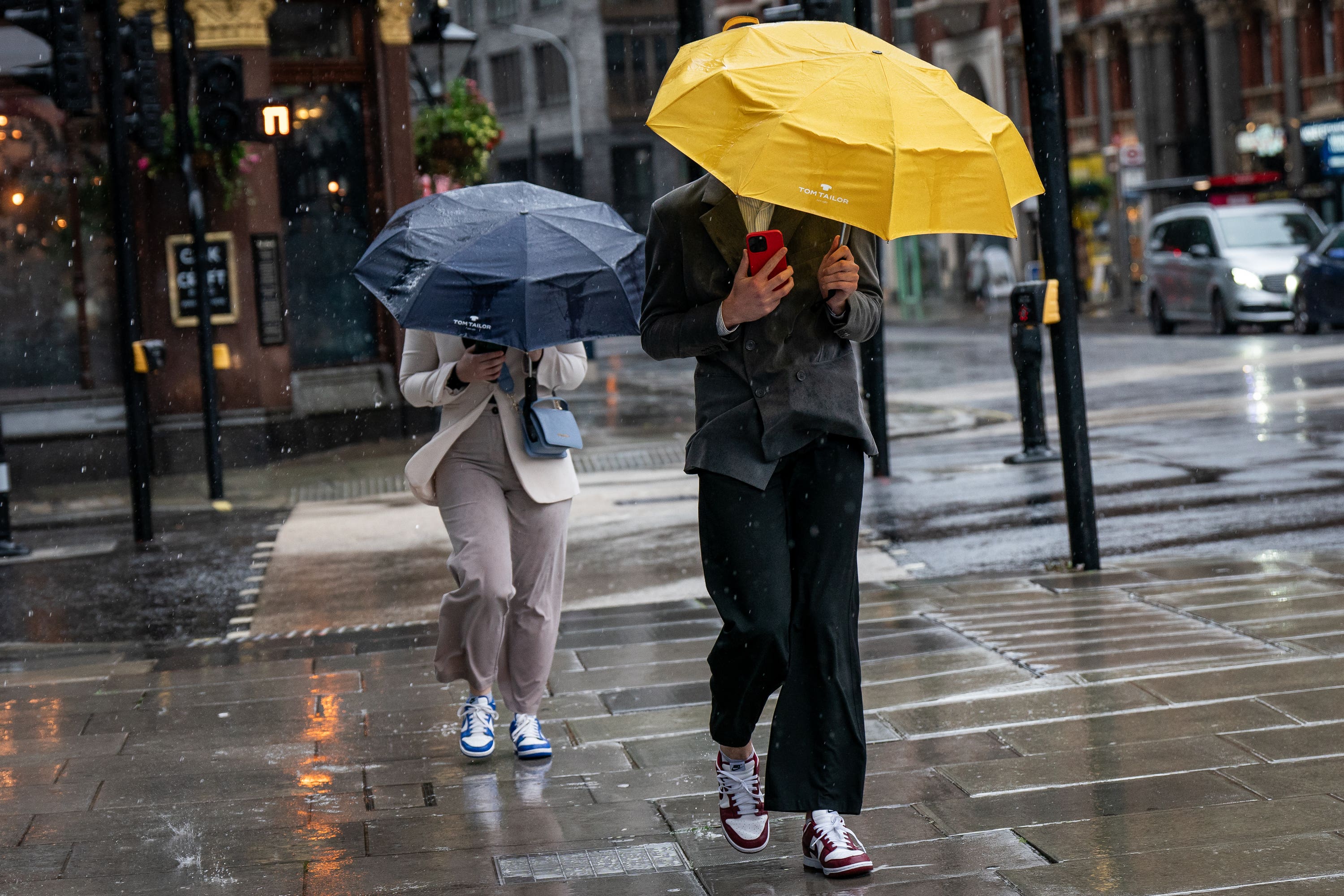
Your support makes all the difference.Heavy rain is set to lash Britons over the next few days while temperatures could drop below freezing as a cold snap moves in.
Around two inches of rain may fall in parts of southern England and Wales over Thursday and Friday, with the Met Office warning of travel delays, flooding and possible thunderstorms.
Meanwhile, temperatures are set to drop from the unseasonably warm early October weather, leading to potential snow over the mountains of Scotland as well as widespread overnight frost across the UK.
It comes after the warmest October day in five years was recorded on Sunday, as temperatures hit 25.8C in Kew Gardens, west London.
Met Office spokesman Grahame Madge said: “On Wednesday night, there may potentially be some frosts and much colder than average conditions, which might be a shock for northern parts of Britain because we’ve had this relatively warm air across most of the UK.
“There will be an increasing tendency towards cooler conditions, however in the southern parts of England and Wales we’ve got the prospect of heavy rain coming in.
“We’re saying there is a significant rain warning from 9pm on Thursday through to midnight on Friday, and we can expect 20 to 30mm in some places in a couple of hours. Even up to 50, 60 or possibly up to 70mm across the high ground of Wales, these are significant amounts.
“Once that warning expires, we’ve got another shift in our weather pattern where we’re getting a more northerly flow coming in.
“That will introduce much cooler conditions, six degrees below average, which given the fact a few days ago we were talking about conditions six or so degrees above average, will feel like a marked contrast.
“We’ve got the prospect on Saturday of early frost in some sheltered northern areas, even some snowfall over the Scottish mountains.”
The Met Office says potential lows of minus 3C in parts of Scotland and Northern Ireland could lead to air frosts.
Meanwhile, temperatures in cities of England will drop as low as 2C, potentially colder in rural areas.