Grace heads for a second hurricane hit on Mexican coast
Hurricane Grace has been temporarily knocked back to tropical storm force, but it's expected to regain hurricane strength Friday as it heads for a second landfall in Mexico

Hurricane Grace — temporarily knocked back to tropical storm force — headed Friday for a second landfall in Mexico, this time taking aim at the mainland's Gulf coast after crashing through the country's main tourist strip.
The storm lost punch as it zipped across the Yucatan Peninsula, but it emerged late Thursday over the relatively warm Gulf of Mexico and was gaining energy.
The U.S. National Hurricane Center said Grace's winds were back up to 65 mph (100 kph) and were expected to soon regain hurricane force. It was centered about 360 miles (580 kilometers) east of Tuxpan and was heading werst at 16 mph (26 kph).
The forecast track would take it toward a coastal region of small fishing towns and beach resorts between Tuxpan and Veracruz likely Friday night or early Saturday, then over a mountain range toward the heart of the country and the greater Mexico City region.
Forecasters said it could drop 6 to 12 inches (15 to 30 centimeters) of rain, with more in a few isolated areas — bringing the threat of flash floods, mudslide and urban flooding.
The hurricane hit early Thursday near Tulum a resort town famed for its Mayan ruins. Some families passed harrowing hours sheltering from cracking trees and flying debris.
As the storm approached, Carlos González grabbed his 1 1/2-year-old son and ran from his home with his wife to a school-turned-shelter, using his cellphone light to find his way through darkened streets.
“The only thing I have left is what I'm wearing,” the 35-year-old construction worker said. “I knew my house wasn't going to stand it because it's made of cardboard. When the wind came I was really scared and decided to leave.”
There were no reports of deaths, but many streets were blocked by fallen limbs and trees that pulled down power lines, leaving thousands in the dark Thursday.
Most businesses remained closed, but the few that opened saw long lines of people waiting to buy tortillas and other food.
Quintana Roo Gov. Carlos Joaquín said the storm had knocked out power to some 84,000 customers in Cancun and 65,000 in Playa del Carmen, Cozumel, Puerto Aventura and Tulum. But he said there were no reported deaths.
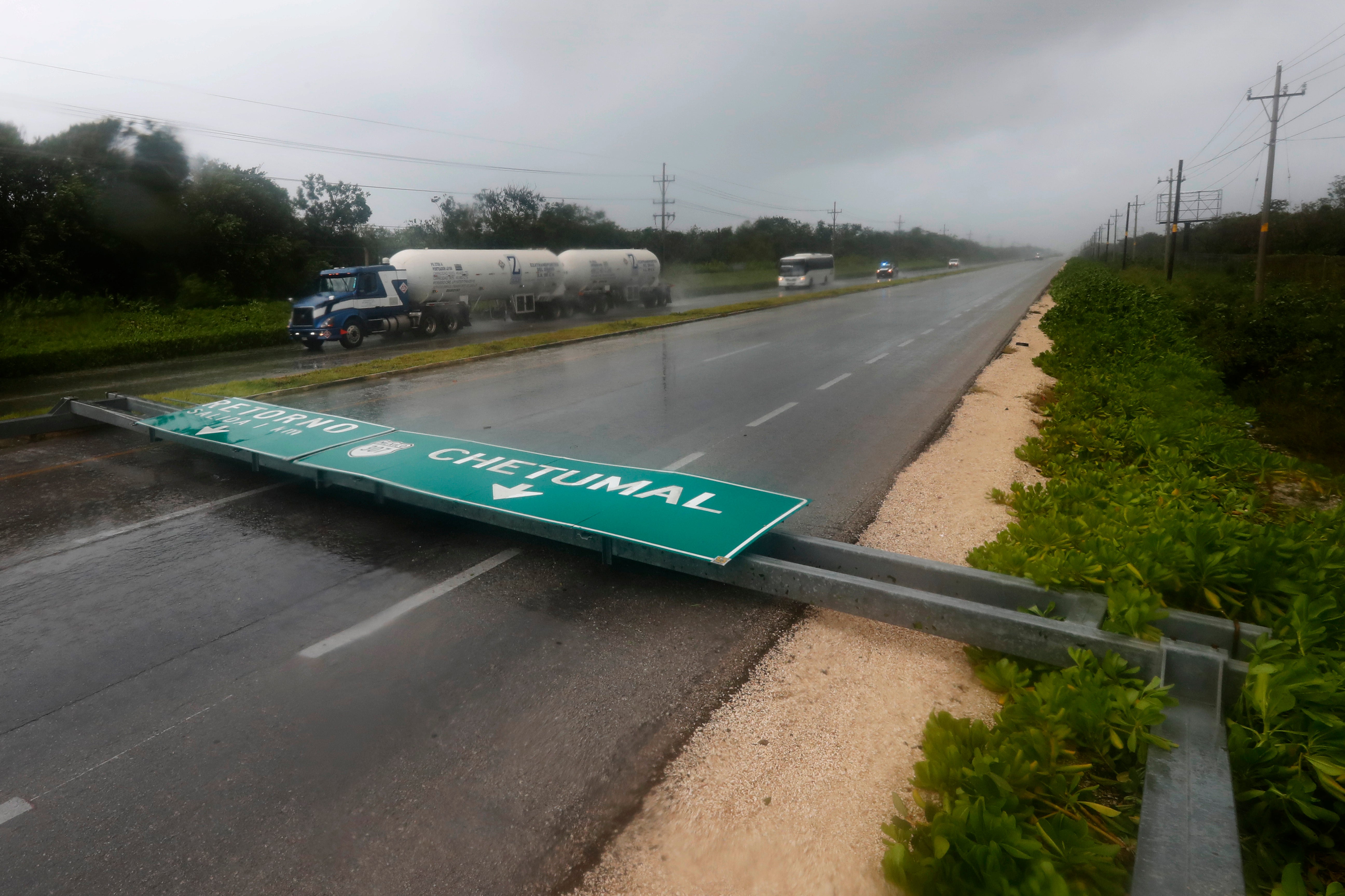
One lane of the highway between Playa del Carmen and Tulum was blocked by a fallen road sign. A gas station was destroyed when a large pavilion blew down, smashing two cars.
__
AP journalist Dan Christian Rojas in Cancun contributed to this report.
Bookmark popover
Removed from bookmarks