Was that actually a tsunami that hit Florida? Not the kind you're used to
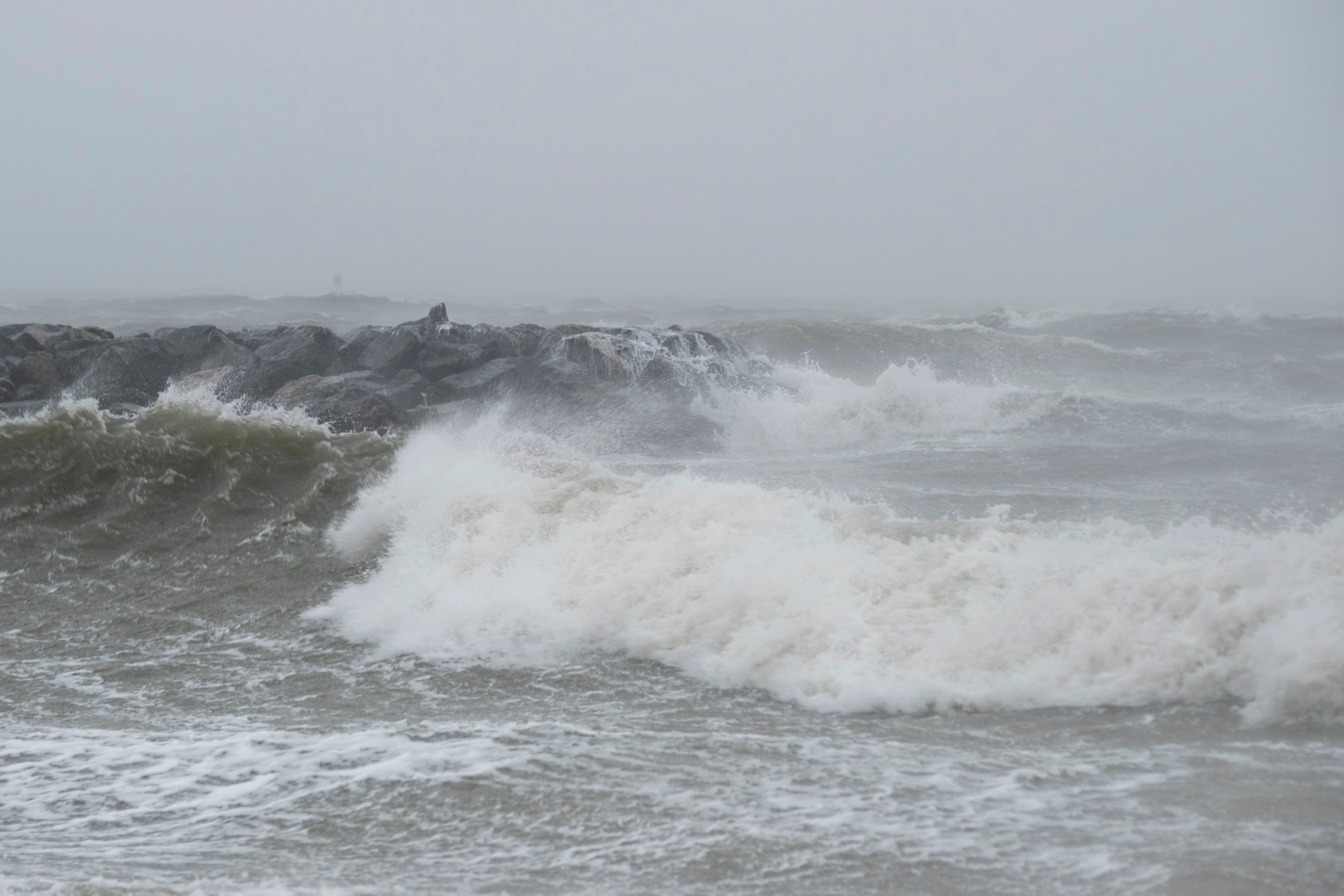
A meteotsunami was recorded in Clearwater Beach, FL on June 21 as a line of thunderstorms tracked onto the coast

Your support helps us to tell the story
From reproductive rights to climate change to Big Tech, The Independent is on the ground when the story is developing. Whether it's investigating the financials of Elon Musk's pro-Trump PAC or producing our latest documentary, 'The A Word', which shines a light on the American women fighting for reproductive rights, we know how important it is to parse out the facts from the messaging.
At such a critical moment in US history, we need reporters on the ground. Your donation allows us to keep sending journalists to speak to both sides of the story.
The Independent is trusted by Americans across the entire political spectrum. And unlike many other quality news outlets, we choose not to lock Americans out of our reporting and analysis with paywalls. We believe quality journalism should be available to everyone, paid for by those who can afford it.
Your support makes all the difference.An unexpected culprit toppled beach chairs along the sand at normally-calm Clearwater Beach, Florida on June 21. West Coast surfers might snicker at the cause, but the National Weather Service confirms the rare 4-foot wave was caused by a kind of tsunami, just not the kind you're used to.
It was a meteotsunami, which are caused by storms with strong gusting winds, unlike more dramatic tsunamis triggered by earthquakes.
WHAT IS A METEOTSUNAMI?
According to Paul Close, senior forecaster at the National Weather Service in Tampa Bay, when a line of storms track over the ocean, there can be 30-50 mile per hour winds near the leading edge. The winds push the water, increasing the wave height near the coast. before it eventually crashes onto shore.
Meteotsunamis only last about an hour because once the leading edge of the storm passes on to land, the action subsides.
The meteotsunami was about two and a half feet higher than the forecasted wave heights and around four feet higher than average sea level.
Six-foot and higher meteotsunamis have been recorded around the world.
The National Weather Service does not issue specific advisories for meteotsunamis. If the agency forecasts that a storm will have substantial impact, it issues a coastal flood watch or warning.
WHEN DO METEOTSUNAMIS FORM?
Close said that stronger storms and squall lines — groups of storms that track in a line with intense winds and heavy rain — are more common during the winter months around Florida.
“They don't happen that often this time of year, but the current atmospheric pattern has been kind of unusual with all the heat out in Texas and the cool and damp weather in the Northeast. This time of year people usually have winds from the east, but we have had west winds almost all of June,” Close said.
____
Associated Press climate and environmental coverage receives support from several private foundations. See more about AP’s climate initiative here. The AP is solely responsible for all content.