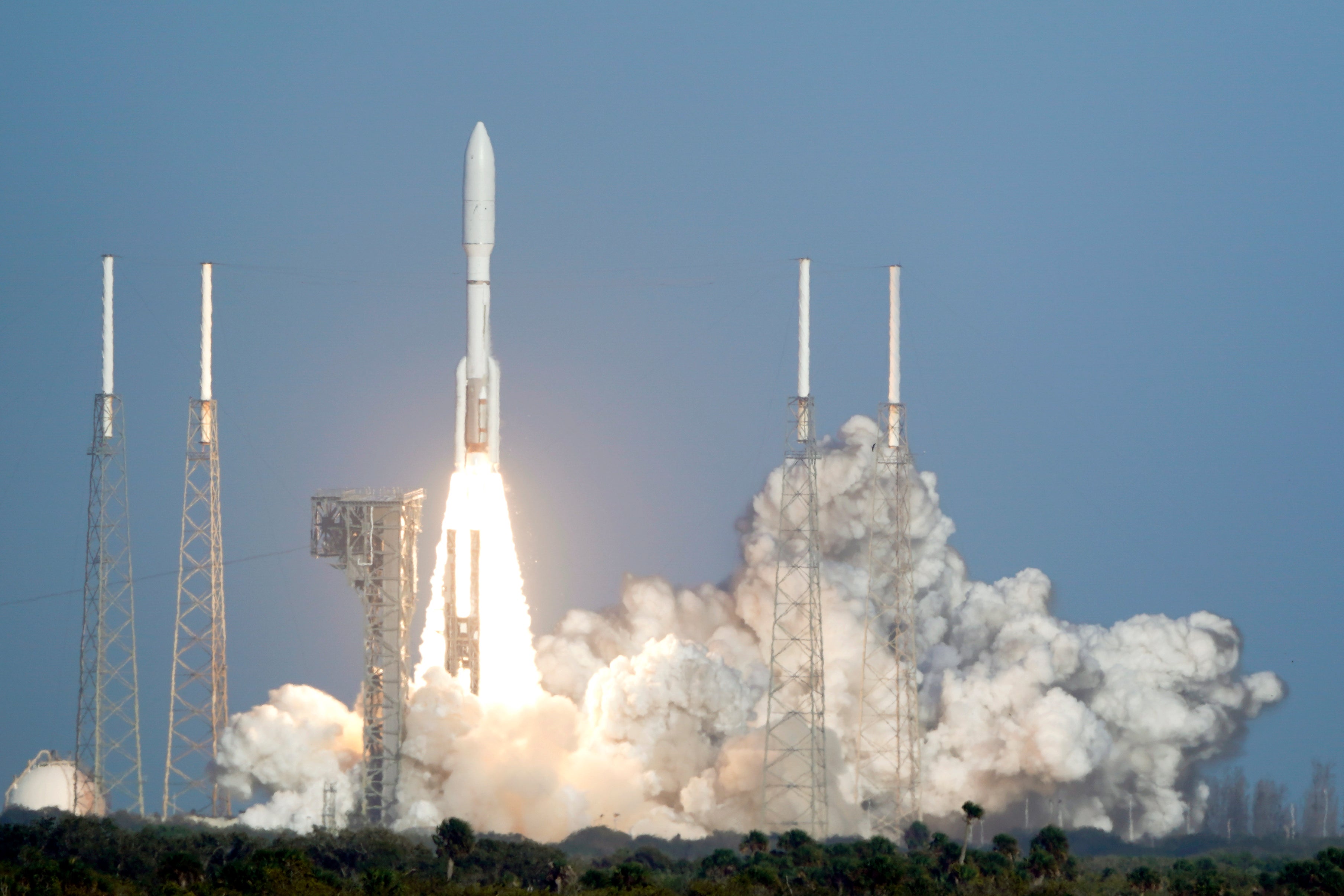
Weather satellite rockets to orbit to monitor US West
America's newest weather satellite has blasted off on a mission to improve wildfire and flood forecasting in the West

Your support helps us to tell the story
From reproductive rights to climate change to Big Tech, The Independent is on the ground when the story is developing. Whether it's investigating the financials of Elon Musk's pro-Trump PAC or producing our latest documentary, 'The A Word', which shines a light on the American women fighting for reproductive rights, we know how important it is to parse out the facts from the messaging.
At such a critical moment in US history, we need reporters on the ground. Your donation allows us to keep sending journalists to speak to both sides of the story.
The Independent is trusted by Americans across the entire political spectrum. And unlike many other quality news outlets, we choose not to lock Americans out of our reporting and analysis with paywalls. We believe quality journalism should be available to everyone, paid for by those who can afford it.
Your support makes all the difference.America’s newest weather satellite blasted off Tuesday to improve wildfire and flood forecasting across the western half of the country.
It's the replacement for a satellite launched exactly four years ago, which ended up with a cooling line blockage that hindered its main camera.
The National Oceanic and Atmospheric Administration said the new model is redesigned to avoid the problem. It will be designated GOES-18 after reaching an equatorial orbit 22,000 miles (36,000 kilometers) up. The first images should come next year, following months of testing.
This is the third in a nearly $11.7 billion series of four weather satellites that are among the most advanced ever built; the cost includes 30 years of operation. The first soared in 2016 to track Atlantic hurricanes and other East Coast weather, while the second lifted off March 1, 2018. The fourth is set to launch in 2024.
The NASA-supported GOES satellites “provide the only continuous coverage of weather and hazardous environmental conditions in the Western Hemisphere,” said NOAA program director Pam Sullivan. “These observations are even more critical now in a time when the U.S. is experiencing a record number of billion-dollar disasters.”
GOES-17 — which is losing as much as 10% of its data because of overheating camera detectors — will be moved aside as an orbiting spare, once the newly launched craft is ready to take its place next year over the Pacific. Each is the size of a small school bus, weighing more than 6,000 pounds (2,700 kilograms).
Besides observing conditions here on Earth, the satellites also monitor solar flares and the resulting space weather.
Despite its flaw, GOES-17 beamed back stunning pictures of the Tonga volcanic eruption in January. The new satellite should provide even better images of such events, according to NOAA scientists.
Tuesday's Cape Canaveral liftoff aboard United Launch Alliance's Atlas V rocket coincided with the opening of the so-called meteorological spring. The three-month season begins March 1, as defined by meteorologists and climatologists for record-keeping. This year's spring equinox falls on March 20.
___
The Associated Press Health and Science Department receives support from the Howard Hughes Medical Institute’s Department of Science Education. The AP is solely responsible for all content.