Tropical depressions Fred, seven could intensify Saturday
Forecasters say two tropical depressions in the Atlantic basin have the potential to intensify into tropical storms on Saturday

Two tropical depressions in the Atlantic basin could potentially intensify into tropical storms on Saturday, expected to bring heavy rain and flooding to parts of the Caribbean and Florida forecasters said.
Tropical depression Fred which has already been classified as a tropical storm before, could regain such strength as it slides towards the Florida Keys, the U.S. National Hurricane Center said. It was centered early Saturday 130 miles (205 kilometers) south-southeast of Key West.
Another tropical depression 480 miles (770 kilometers) east of the Leeward Islands was forecast to become a tropical storm named Grace. Tropical depression seven was moving west at 21 mph (33 kph).
Both systems had maximum sustained winds around 35 mph (55 kph).
Fred had been dropping heavy rain over parts of Cuba since at least Thursday. Forecasters expected it to pass near or west of the Florida Keys on Saturday afternoon, and then move over the eastern Gulf of Mexico. The hurricane center described Fred as “disorganized,” and said it was traveling west at 12 mph (19 kph). A tropical storm warning was in effect for the Florida Keys west of the Seven Mile Bridge to the Dry Tortugas.
Once a tropical storm, Fred weakened to a depression by its spin over Haiti and the Dominican Republic, where it knocked out power to some 400,000 customers and caused flooding that forced officials to shut down part of the country’s aqueduct system, interrupting water service for hundreds of thousands of people. Local officials reported hundreds of people were evacuated and some buildings were damaged.
Fred was expected to bring 3 to 5 inches (7.5 to 12.5 centimeters) of rain to the Keys and southern Florida through Monday.
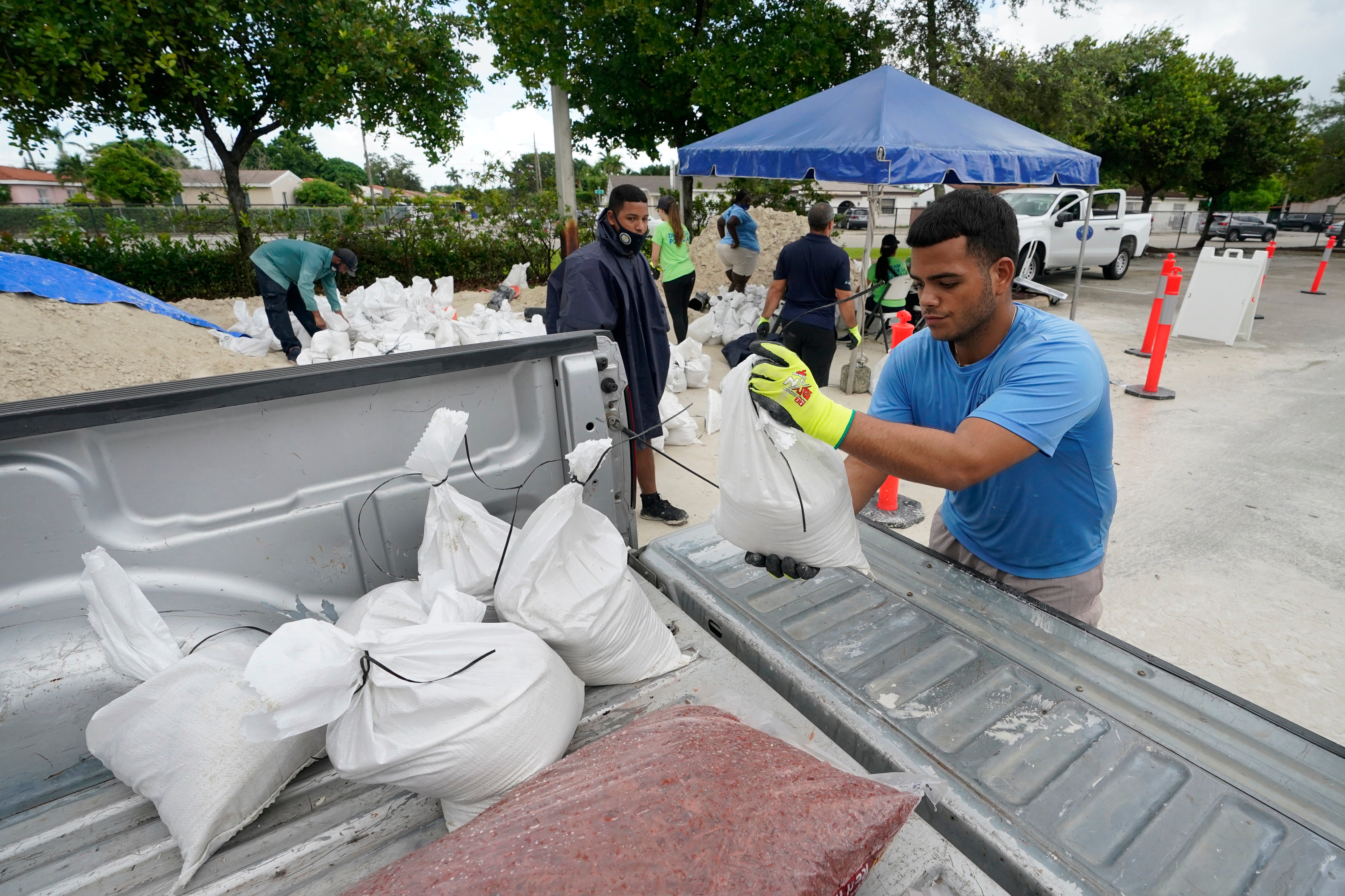
No evacuations are planned for tourists or residents in Monroe County, Keys officials said Friday. The county’s emergency management officials are advising people in campgrounds, recreational vehicles, travel trailers, live-aboard vessels and mobile homes to seek shelter in a safe structure during the weather event.
Tropical depression seven was forecast to bring 3 to 6 inches (7.5 to 15 centimeters) of rain to the Leeward Islands, Virgin Islands and Puerto Rico into Monday. A tropical storm warning was in effect for several islands including Antigua and Barbuda, Anguilla, St. Martin and St. Barthelemy.
Bookmark popover
Removed from bookmarks