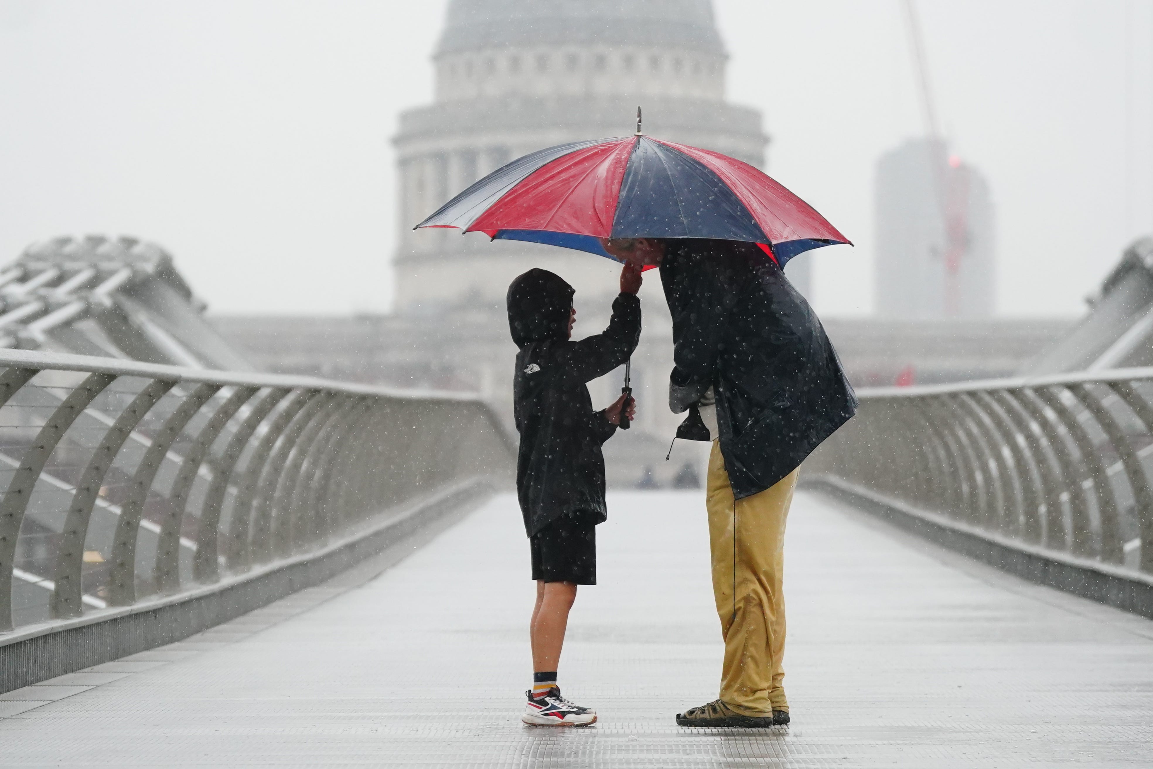
UK weather forecast: Met Office issues thunderstorm and flooding warnings across England, Wales and Scotland
Forecasters have warned homes may be flooded and train and bus services may be delayed or cancelled
Your support helps us to tell the story
From reproductive rights to climate change to Big Tech, The Independent is on the ground when the story is developing. Whether it's investigating the financials of Elon Musk's pro-Trump PAC or producing our latest documentary, 'The A Word', which shines a light on the American women fighting for reproductive rights, we know how important it is to parse out the facts from the messaging.
At such a critical moment in US history, we need reporters on the ground. Your donation allows us to keep sending journalists to speak to both sides of the story.
The Independent is trusted by Americans across the entire political spectrum. And unlike many other quality news outlets, we choose not to lock Americans out of our reporting and analysis with paywalls. We believe quality journalism should be available to everyone, paid for by those who can afford it.
Your support makes all the difference.Thunderstorm warnings are in place across the UK, with the Met Office warning that up to three inches of rain could fall on Monday.
Heavy showers are expected to continue throughout the day, while some places may see between 30 to 40mm of rain in less than an hour, and some places seeing over 60-80mm in one or two places.
The yellow weather warning was issued over the weekend and remains in place until midnight on Monday, covering the East Midlands, North and East of England, the Highlands and Wales.
Despite temperatures expected to reach 23C in London, forecasters have warned that parts of the UK may see delays and some cancellations to train and bus services, and there may be a slight chance that power cuts could occure.
The weather also poses a risk that homes and businesses could be flooded quickly, with spray and sudden flooding leading to difficult driving conditions and road closures.

Marco Petagna, a senior operational meteorologist, said the thunderstorms were due to low pressure sitting over the UK. He said: “There’s a risk of heavy showers, which could be thundery in places, especially central and eastern parts of the UK.”
Tuesday and Wednesday are forecast to see lighter and more scattered showers and sunshine, with temperatures dropping to become cooler and fresher.
From Thursday onwards, thunderstorms and rain are again expected in the south of the UK, with drier conditions most likely over Scotland and Northern Ireland.
This week’s weather forecast:
Some heavy and thundery downpours today. Some warm sunshine too.
Today:
Showery rain, some heavy and thundery will affect parts of the UK today, especially Wales, central and northern England, along with central and eastern Scotland. Elsewhere, rain generally lighter and more patchy. Some warm sunny spells, especially southeast England. Humid.
Tonight:
Thunderstorms easing during the evening. Some clear spells overnight, though still showers in places. Feeling fresher than recently in the north and west, but remaining humid in the east.
Tuesday:
Showery rain in the southeast slowly easing. Otherwise a day of sunny spells, with some showers, mainly in the north and west. Generally feeling cooler and fresher.
Outlook for Wednesday to Friday:
Sunny spells and showers on Wednesday. Further rain then likely across England and Wales, some heavy, especially on Thursday, when perhaps also windy. Drier and brighter Scotland and Northern Ireland.
Join our commenting forum
Join thought-provoking conversations, follow other Independent readers and see their replies
Comments