Weather warnings in force as snow and ice grip UK
Britain faces more disruption after three storms struck in quick succession
People in Scotland woke to a blanket of snow this morning and have been warned of lightning as a cold front sweeps across the UK.
A yellow weather warning is in place until 8pm today for most of Scotland and Northern Ireland.
There is a second warning for snow and ice stretching from the north of Scotland to Manchester until 9.30am on Friday. as well as a warning for ice in Northern Ireland.
There has been disruption across Scotland, with dozens of schools closed and poor conditions on the roads. Rail and ferry travel has also been affected by the weather.
Further south, there were be blustery showers on Thursday but sunny spells expected on Friday.
It is the latest in a bout of unsettled weather after storms Dudley, Eunice and Franklin hit the UK in quick succession, leaving three people dead.
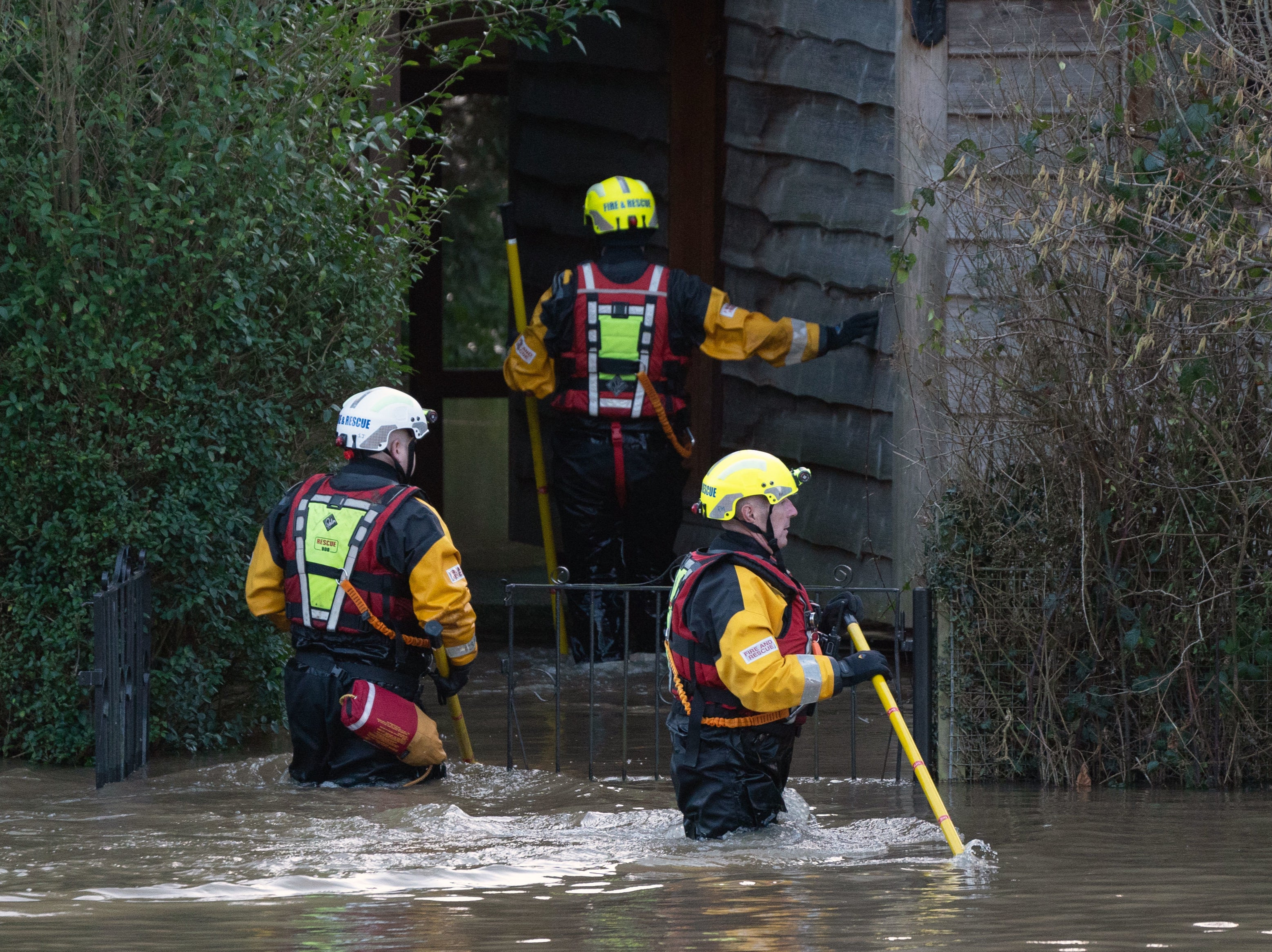
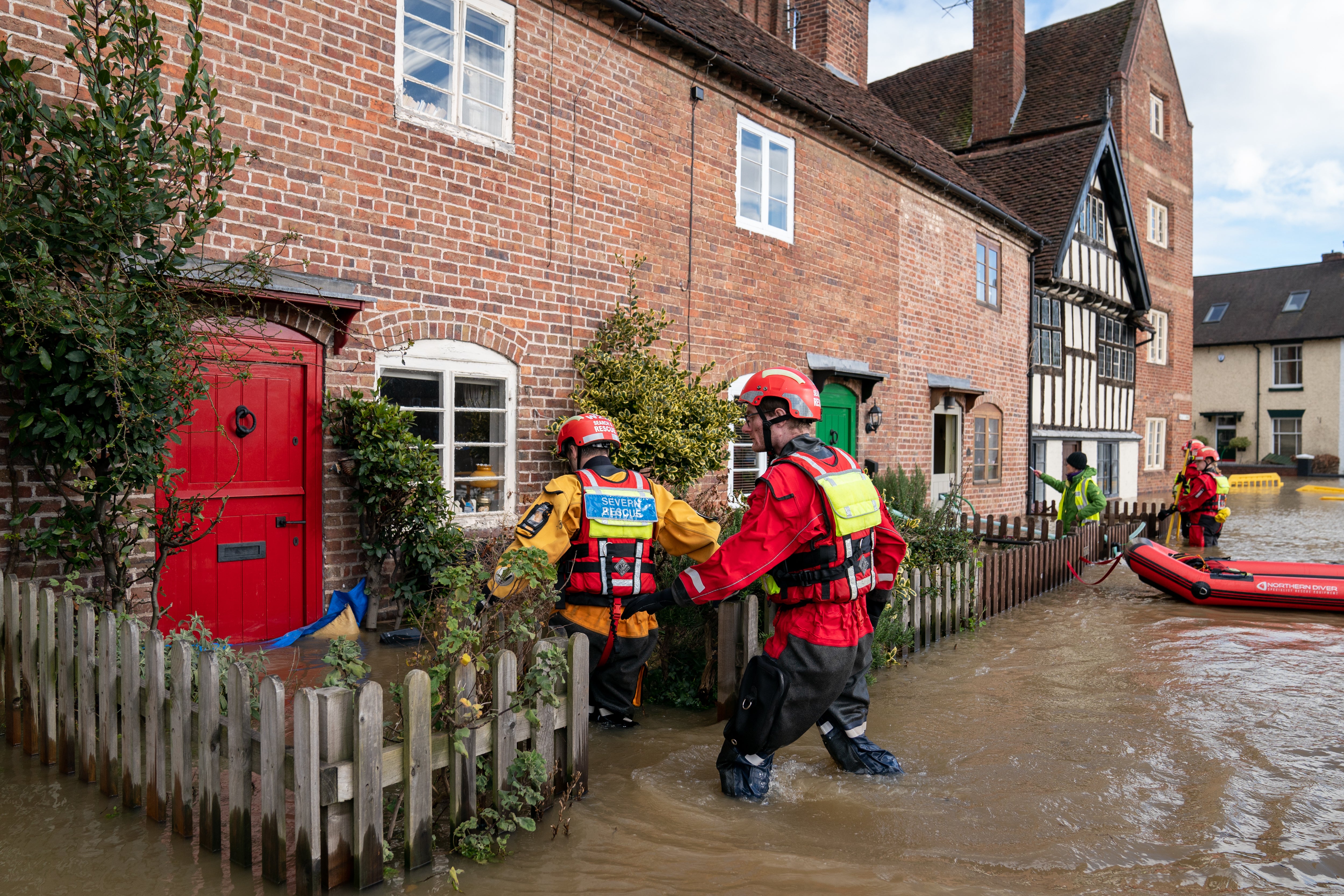
Severe flooding has affected around 400 properties and is expected to continue, according to the Environment Agency.
On Thursday afternoon there were 62 flood warnings and alerts across England, as well as a flood warning from Ayr to Troon on the southwest coast of Scotland.


There is still a “danger to life” from flooding in Wribbenhall, Bewdley, where the River Severn overtopped defences on Tuesday, the Environment Agency said. The water level peaked in the town on Wednesday afternoon but the river is expected to remain high.
A severe warning for Ironbridge, Shropshire, has been lifted.
The Met Office said: “The rather unsettled weather pattern will continue over the next four or five days, especially in the northwest, although conditions are not expected to be as severe as during the past week.
“A number of weather fronts will cross northern parts bringing bouts of wet and windy weather while southern and eastern areas see the best of the fine weather over the weekend.”
It added the jet stream that has been driving storm systems across the North Atlantic is “still very active”.
But it said these winds are moving further north – meaning the weather could become calmer next week.
Met Office chief meteorologist Frank Saunders said: “A cold front, followed by cold arctic Canadian air, has now pushed south across the country and has brought a spell of windy, showery and cold weather.
“Northern Ireland, Scotland, and parts of northern England will see some further snowfall, chiefly on hills through the rest of today and in places tonight. Gusty winds mean blizzards are possible on higher routes and National Severe Weather warnings are in place.
“A ridge of high pressure builds on Friday resulting in a fine, bright day for most. However, the winds pick up again as we head into the weekend with weather fronts bringing rain to the north and west and milder air spreads back in here.”
Join our commenting forum
Join thought-provoking conversations, follow other Independent readers and see their replies
Comments
Bookmark popover
Removed from bookmarks