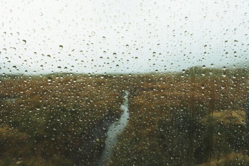
UK weather: ‘Mixed fortunes’ as rain and thunderstorms threaten to dampen sunny weekend
Scotland and Northern Ireland to bear the brunt of the wet weather

Your support helps us to tell the story
From reproductive rights to climate change to Big Tech, The Independent is on the ground when the story is developing. Whether it's investigating the financials of Elon Musk's pro-Trump PAC or producing our latest documentary, 'The A Word', which shines a light on the American women fighting for reproductive rights, we know how important it is to parse out the facts from the messaging.
At such a critical moment in US history, we need reporters on the ground. Your donation allows us to keep sending journalists to speak to both sides of the story.
The Independent is trusted by Americans across the entire political spectrum. And unlike many other quality news outlets, we choose not to lock Americans out of our reporting and analysis with paywalls. We believe quality journalism should be available to everyone, paid for by those who can afford it.
Your support makes all the difference.Heavy rain and potential thunderstorms are threatening to dampen weekend spirits across parts of the UK on Sunday.
Sunday’s showers, expected to hit Northern Ireland and Scotland, follow a yellow weather warning issued on Saturday as storms swept across parts of western Scotland.
The outlook is considerably drier and brighter for the southeast, according to the Met Office, where it will feel increasingly warm in the sunny intervals.
This weekend’s wet weather arrives just days after the UK recorded the hottest temperature in history on Tuesday, as the mercury exceeded 40C for the first time.
The new record was provisionally reached on 19 July, with 40.3C recorded at Coningsby, Lincolnshire, exceeding the previous record by 1.6C.
Looking ahead to early August, forecasters expect temperature to remain above average across the south, which could lead to more periods of very hot weather.
Temperatures futher north are, however, likely to be much closer to average, but there will be a greater risk of rain.
Met Office outlook for Monday to Wednesday:
Scattered showers for many areas Tuesday, some heavy/thundery showers northern England and southern Scotland. Mainly dry and fine thereafter, with just a few lighter showers. Cooler than of late.
Thursday to Saturday:
The beginning of this period will bring dry weather for many, though there is a low risk of heavy showers or thunderstorms spreading across southern regions and south Wales from the continent.
As we move through the weekend, northern and northwestern regions are likely to see showers or longer spells of rain and fresh winds, which may slowly edge southeastwards throughout this period.
Southern parts of the UK will continue to see mainly dry weather and sunny spells, with the potential for some hot weather in the southeast. In northern parts of the UK, temperatures remaining generally near normal, perhaps locally cool in the northwest.
Later in this period, we may see this fine and dry weather extending from the southeast across much of the UK for a time.
Join our commenting forum
Join thought-provoking conversations, follow other Independent readers and see their replies
Comments