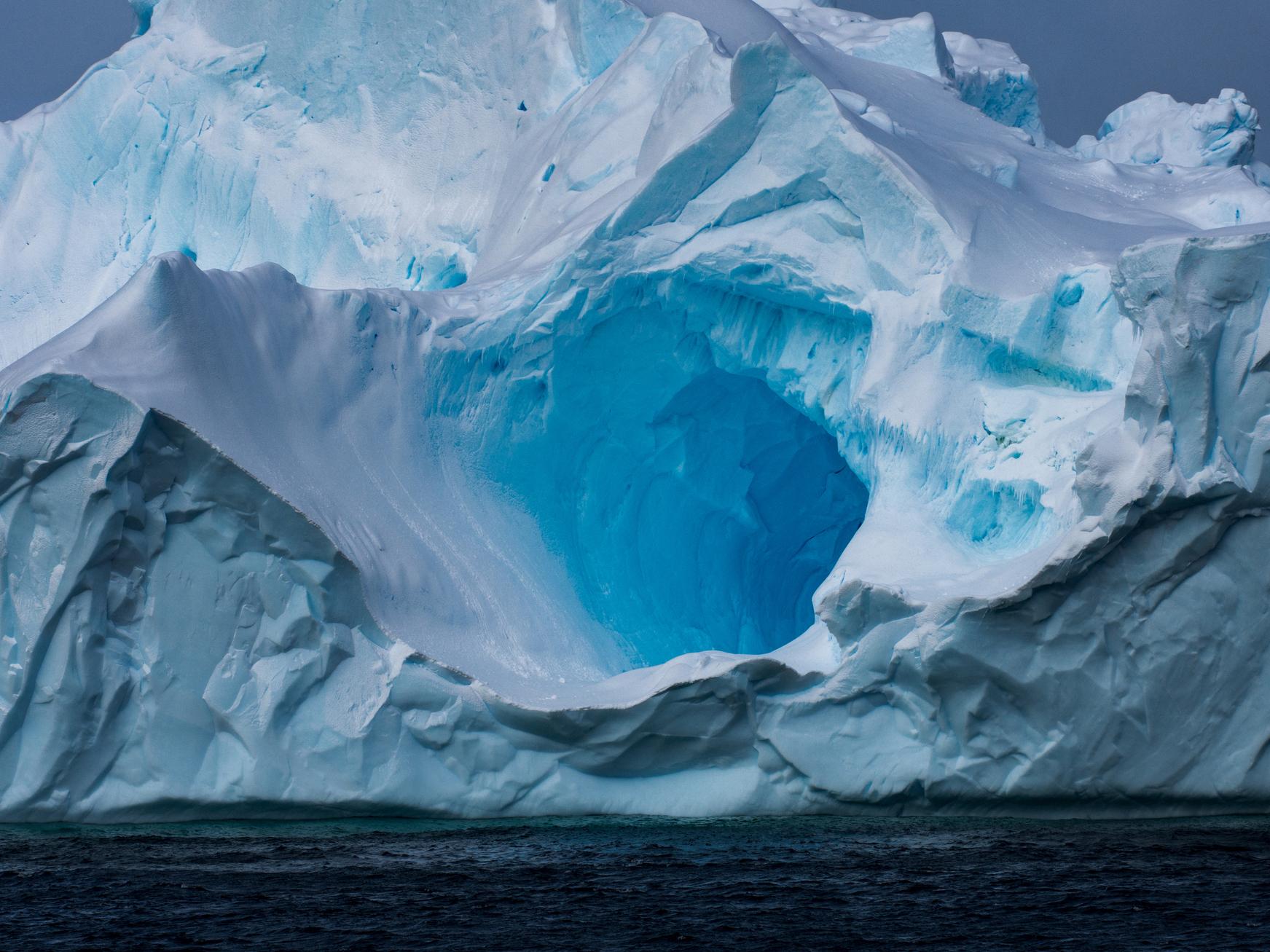
Warm water rapidly melting Antarctica from below due to climate change
Scientists found area of underwater ice the size of Greater London had melted within space of five years

Your support helps us to tell the story
From reproductive rights to climate change to Big Tech, The Independent is on the ground when the story is developing. Whether it's investigating the financials of Elon Musk's pro-Trump PAC or producing our latest documentary, 'The A Word', which shines a light on the American women fighting for reproductive rights, we know how important it is to parse out the facts from the messaging.
At such a critical moment in US history, we need reporters on the ground. Your donation allows us to keep sending journalists to speak to both sides of the story.
The Independent is trusted by Americans across the entire political spectrum. And unlike many other quality news outlets, we choose not to lock Americans out of our reporting and analysis with paywalls. We believe quality journalism should be available to everyone, paid for by those who can afford it.
Your support makes all the difference.Warm ocean water is melting Antarctica from below, destabilising its ice sheets and contributing to sea level rise.
A new study has used data from satellites to determine how much underwater ice is melting.
This has allowed researchers to map the retreat of the “grounding lines”, where large floating ice shelves connect to the layer of bedrock underneath Antarctica.
These shelves can be particularly vulnerable to collapse as sea water melts them from beneath.
Based on their analysis, the scientists found an area of underwater ice the size of Greater London had melted within the space of five years.
The most alarming change was seen in West Antarctica, where over a fifth of the entire ice sheet had retreated rapidly across the sea floor – outpacing the rate of overall melting above.
"Our study provides clear evidence that retreat is happening across the ice sheet due to ocean melting at its base, and not just at the few spots that have been mapped before now,” said Dr Hannes Konrad, a researcher at the University of Leeds who led the study.
The research was published in the journal Nature Geoscience.
As the climate gets warmer, the rising sea level is one of the most significant threats facing humanity.
The number of people directly affected by such rises could run into the hundreds of millions by the end of the century, according to some estimates.
At the moment, most sea level rise is the result of thermal expansion – that is, sea water expanding as its temperature increases – and small glaciers melting.
However, as global warming continues its current trend, the contribution to sea levels made by the larger ice sheets in Greenland and Antarctica is expected to increase.
Past studies have shown that the “catastrophic collapse” of major regions such as the West Antarctic ice sheet by themselves have the capacity to raise global sea levels by over 3 metres.
Understanding the different ice dynamics contributing to sea level rise is vital to build an accurate projection of life on a warmer Earth – and the shifting of the Antarctic’s grounding lines inland suggests a significant contribution coming from land-based ice melting.
The scientists found variation in rates of melting across different parts of the region, and emphasised the importance of monitoring this variation.
"These differences emphasise the complex nature of ice sheet instability across the continent, and being able to detect them helps us to pinpoint areas that deserve further investigation,” said Dr Konrad.
In particular, the scientists noted extreme underwater melting at eight of Antarctica’s biggest glaciers. The retreat of the grounding line at these glaciers was over five times the average rate of glacier melting.
Grounding lines are difficult to measure due to their location around a kilometre below sea level.
Dr Konrad and his colleagues were able to assess the position of these lines by using measures of ice sheet elevation obtained from the satellite CryoSat-2, combined with knowledge of ice sheet geometry.
"We were delighted at how well CryoSat-2 is able to detect the motion of Antarctica's grounding lines,” said Professor Andy Shepherd, one of the study’s co-authors.
“They are impossible places to access from below, and usually invisible on the ground, so it's a fantastic illustration of the value of satellite measurements for identifying and understanding environmental change."
Join our commenting forum
Join thought-provoking conversations, follow other Independent readers and see their replies
Comments