Met Office forecasts snow over Christmas period as more unsettled weather to come
Forecaster says a white Christmas may not be out of the question in parts of the UK this year
Your support helps us to tell the story
From reproductive rights to climate change to Big Tech, The Independent is on the ground when the story is developing. Whether it's investigating the financials of Elon Musk's pro-Trump PAC or producing our latest documentary, 'The A Word', which shines a light on the American women fighting for reproductive rights, we know how important it is to parse out the facts from the messaging.
At such a critical moment in US history, we need reporters on the ground. Your donation allows us to keep sending journalists to speak to both sides of the story.
The Independent is trusted by Americans across the entire political spectrum. And unlike many other quality news outlets, we choose not to lock Americans out of our reporting and analysis with paywalls. We believe quality journalism should be available to everyone, paid for by those who can afford it.
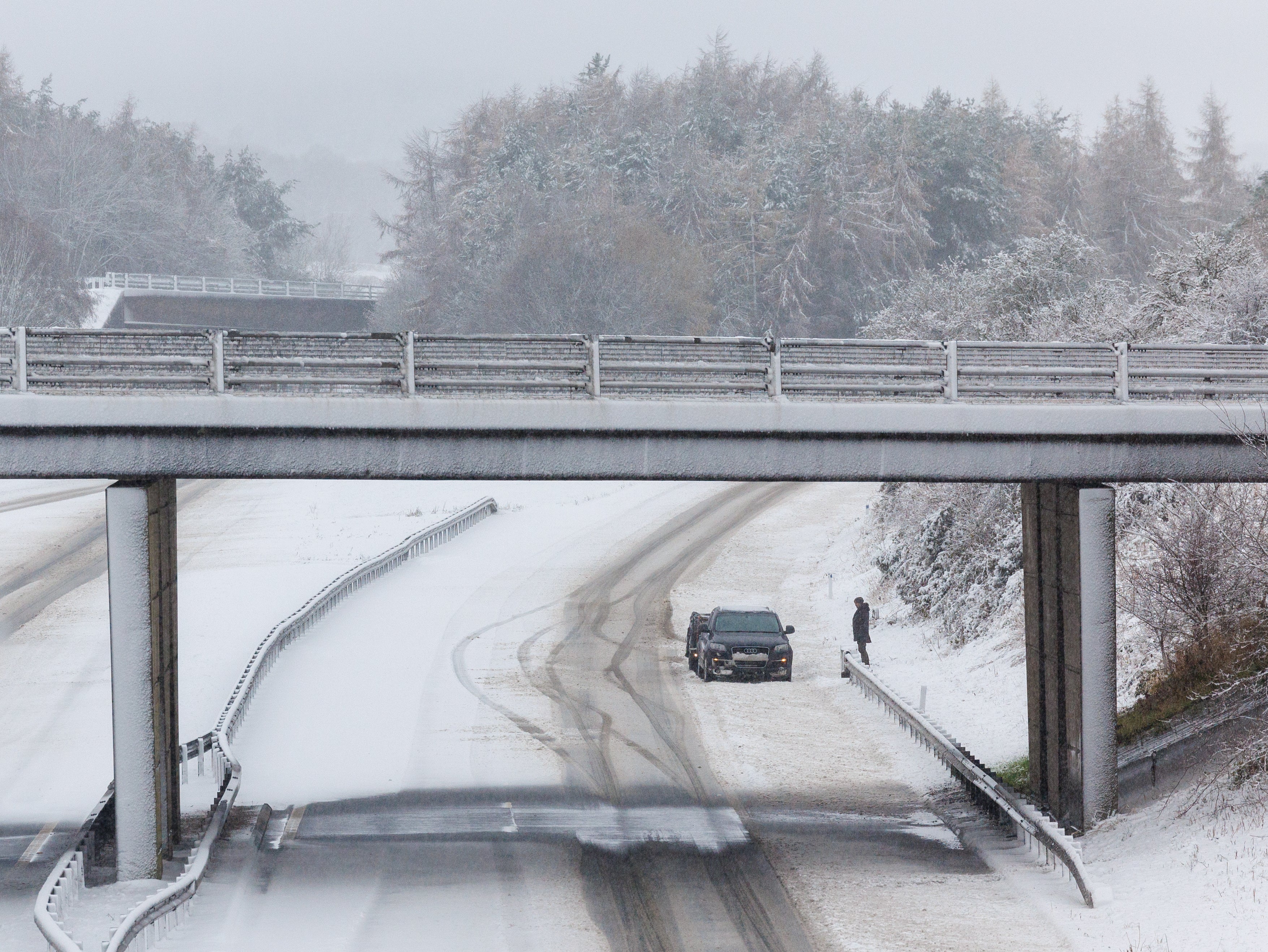
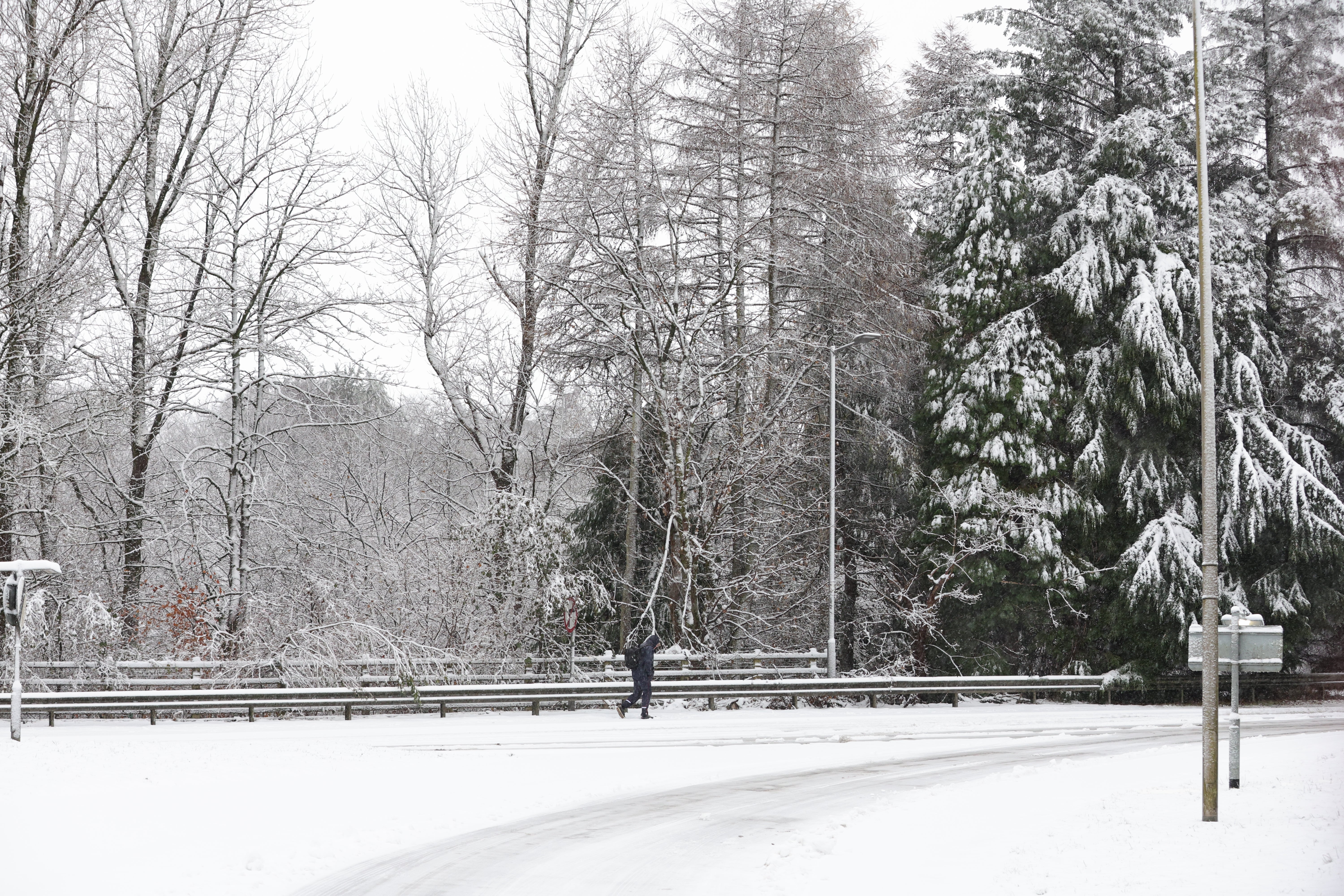
Your support makes all the difference.A white Christmas could be on the cards for some people across the UK this year, as the Met Office forecasts snow over the festive period.
In its long range forecast, from Christmas eve to January 7, the Met Office confirmed that some sleet and snow was “likely at times”, mainly affecting high ground in northern parts of the UK.
Besides the potential snow, there will be “mainly unsettled conditions” for most, with wind and rain likely appearing for most people across the UK over the festive period.
Temperatures however, should remain average overall with frost and fog on its way.
The Met Office long-range forecast reads: “Mainly unsettled conditions appear likely for most, with spells of wind and rain followed by showers affecting most areas but especially the north and northwest of the UK. Some sleet and snow is also likely at times, especially on high ground in the north.
“However, there are also some signs that more settled conditions are possible at times, these perhaps most likely across the south late in December or into early January. Temperatures are likely to be around average overall, with any more settled interludes bringing a risk of frost and fog.”

The Met Office recognises a white Christmas if just one snowflake is observed falling in the 24 hours of 25 December somewhere in the UK.
Though the long range forecast suggests a white Christmas could be possible this year, the Met Office can only accurately forecast if snow is likely on any given Christmas Day up to five days beforehand.
White Christmases were more frequent in the 18th and 19th centuries, as climate change has also brought higher average temperatures over land and sea and this generally reduced the chances of one.
Technically, 2023 was the last white Christmas in the UK with 11 per cent of stations recording snow falling, although none reported any snow lying on the ground.
There was no record of snow falling at any station in the UK in 2018, or in 2019.

The last widespread white Christmas in the UK was in 2010. It was extremely unusual, as not only was there snow on the ground at 83 per cent of stations - the highest amount ever recorded- but snow or sleet also fell at 19 per cent of stations.
For this week, the Met Office has forecast dry weather with some cloudy days across the country.
Here is the Met Office’s full five day forecast:
Tuesday:
Remaining cloudy in England and Wales, with showers becoming confined to the south coast. Drier with sunny spells for Northern Ireland and Scotland, though frost and fog persisting through the morning. Feeling chilly with lighter winds than recent days.
Tuesday night:
Largely cloudy across England, Wales and Shetland with a few scattered showers. Patchy freezing fog redeveloping for Scotland and Northern Ireland with a widespread frost under prolonged cloud breaks.
Wednesday:
Another dry day for most, though the odd shower in the far southeast. Rather cloudy, though brighter in the north and west. Chilly, especially where fog lingers.
Outlook for Thursday to Saturday:
High pressure continues to dominate bringing fine weather with some sunshine and overnight frost and fog. Blustery showers dying out in the south with patchy rain in the north later.

Join our commenting forum
Join thought-provoking conversations, follow other Independent readers and see their replies
Comments